


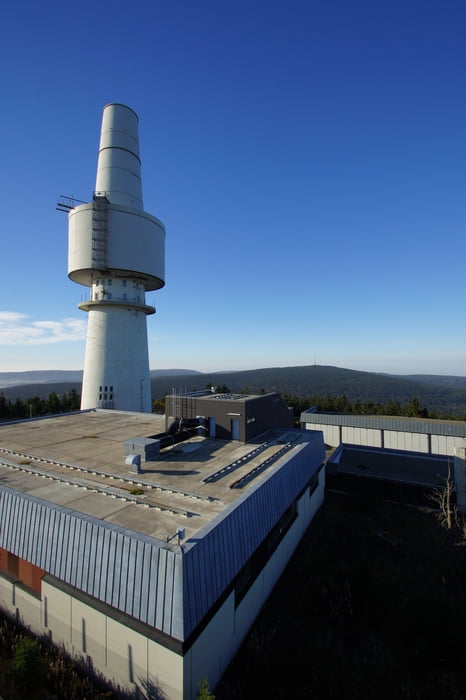
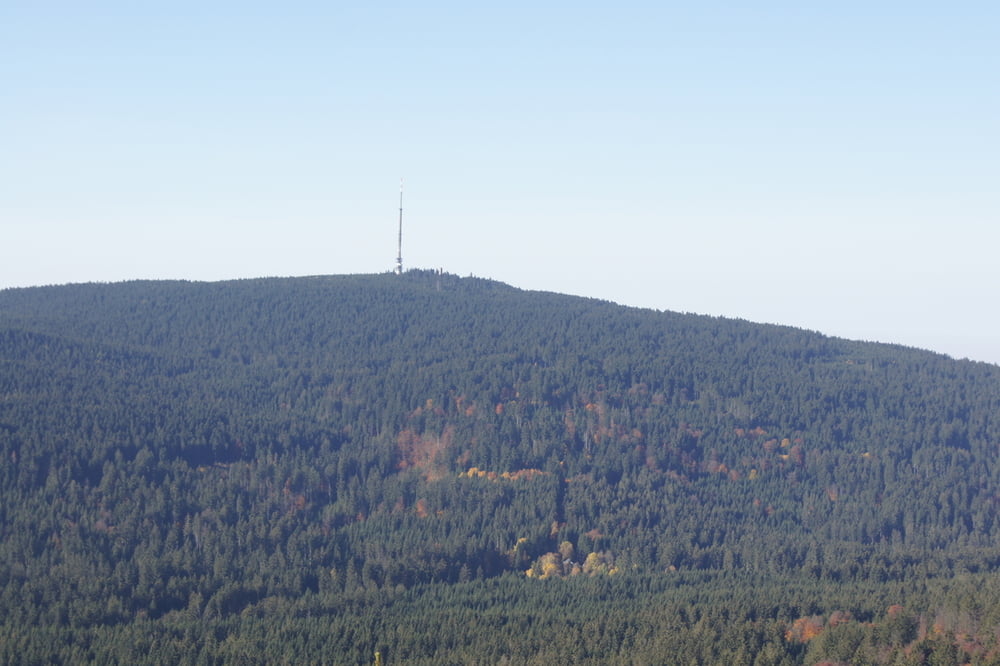
Am Fichtelsee startend geht es zuerst gen Schneeberg, dem höchsten Berg Frankens. Nachdem dort die wundervolle Aussicht über Oberfranken bis hin nach Thüringen genossen worden ist, geht es weiter zum Nußhardt, dem dritthöchsten Berg Frankens. Über Felsformationen geht es auch hier zu einem schönen Aussichtspunkt. Von hier hat man den Schneeberg und den Ochsenkopf perfekt im Blick.
Vom Nußhardt geht es über Stock und Stein zum Seehaus Fichtelgebirge, wo verschiedene fränkische Spezialitäten zum Verweilen einladen. Nach Kräftigung geht's bergab zum Fichtelsee, der bei schönen Wetter erneut zum Verweilen einlädt.
Tour gallery
Tour map and elevation profile
Minimum height 758 m
Maximum height 1055 m
More about the tour author
|
|
Huthinho |
Comments

Von Bayreuth über Warmensteinach nach Neubau. Kurz nach Neuvau auf linker Seite den Wander-Parkplatz ansteuern und dort parken.
Alternativ über Bad Berneck und Bischofsgrün zum Wanderparkplatz.
GPS tracks
Trackpoints-
GPX / Garmin Map Source (gpx) download
-
TCX / Garmin Training Center® (tcx) download
-
CRS / Garmin Training Center® (crs) download
-
Google Earth (kml) download
-
G7ToWin (g7t) download
-
TTQV (trk) download
-
Overlay (ovl) download
-
Fugawi (txt) download
-
Kompass (DAV) Track (tk) download
-
Track data sheet (pdf) download
-
Original file of the author (gpx) download
More about the tour author
|
|
Huthinho |
Add to my favorites
Remove from my favorites
Edit tags
Open track
My score
Rate