


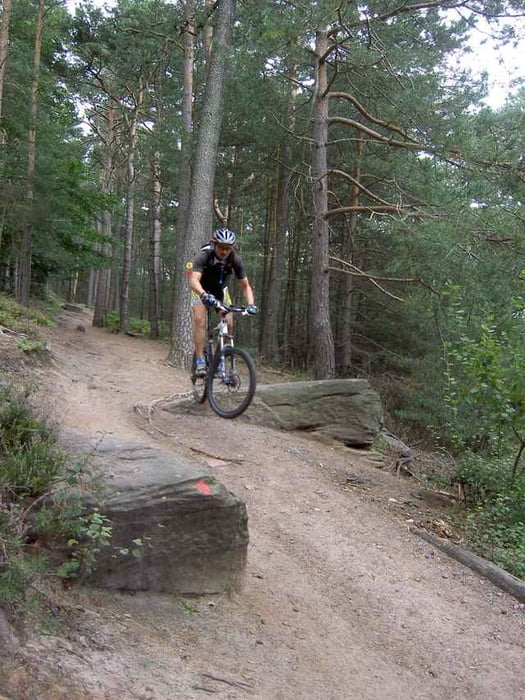
Tourverlauf: Rotes Kreuz bis Loloruhe, Blau-Gelber Balken Richtung N bis Hellerplatzhaus. Dann Gelbe Kugel
Richtung NO bis Neustadt. Schwarzer Punkt auf Weiß Richtung SW zum Kalmit. Weiter zur St. Martiner Hütte. Von dort den Hüttenpfad Richtung Osten am Schwalbenfelsen vorbei. Hinauf zur Ruine Rietburg und wieder zurück zum Startpunkt.
Richtung NO bis Neustadt. Schwarzer Punkt auf Weiß Richtung SW zum Kalmit. Weiter zur St. Martiner Hütte. Von dort den Hüttenpfad Richtung Osten am Schwalbenfelsen vorbei. Hinauf zur Ruine Rietburg und wieder zurück zum Startpunkt.
Further information at
http://www.biketreff-niefern.deTour gallery
Tour map and elevation profile
Minimum height 195 m
Maximum height 671 m
More about the tour author

|
winklem |
Comments
Start der Tour ist an der Siegfriedschmiede ca.2km westlich von Edenkoben. Dort kann man auch super Essen.
GPS tracks
Trackpoints-
GPX / Garmin Map Source (gpx) download
-
TCX / Garmin Training Center® (tcx) download
-
CRS / Garmin Training Center® (crs) download
-
Google Earth (kml) download
-
G7ToWin (g7t) download
-
TTQV (trk) download
-
Overlay (ovl) download
-
Fugawi (txt) download
-
Kompass (DAV) Track (tk) download
-
Track data sheet (pdf) download
-
Original file of the author (g7t) download
More about the tour author
|
|
winklem |
Add to my favorites
Remove from my favorites
Edit tags
Open track
My score
Rate
zwischen Edenkoben und Neustadt
pfalzfan aus Neustadt an der Weinstraße