Login

Forgot your login?

Cookies have to be accepted!
Your browser's cookie functionality is disabled. Please enable this functionality.

Not a member yet?

Register now
Login

Available for registred users only

Log in to use this feature.

Forgot your login?

Cookies have to be accepted!
Your browser's cookie functionality is disabled. Please enable this functionality.

Not a member yet?

Register now
Filter
Categories
Advanced filters
  • Distance (km)
  • Height
Save filters Reset filter

TrackRank

QRCode

Technical data

Distance27,3 km Height499 m Way down491 m Duration01:05 h:m Date20.08.2012
Scores Author User Landscape Fun factor Fitness Technique

Statistics

472 Views 1 Score 97 Downloads 4.00 Average
Rate
  • Track data sheet
  • Directions
  • Downloads
Die ersten 10 km geht es bergauf, danach kurz bergab und dann zur Möhne. Am Torhaus den kleinen Berg hoch und zum Aupketal zurück.
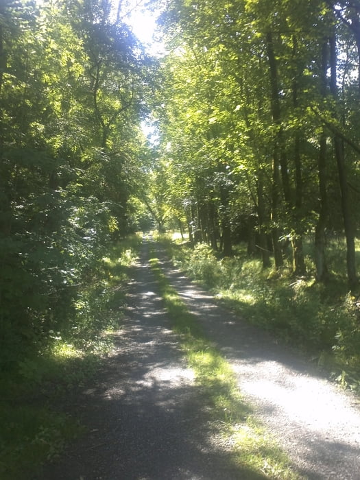
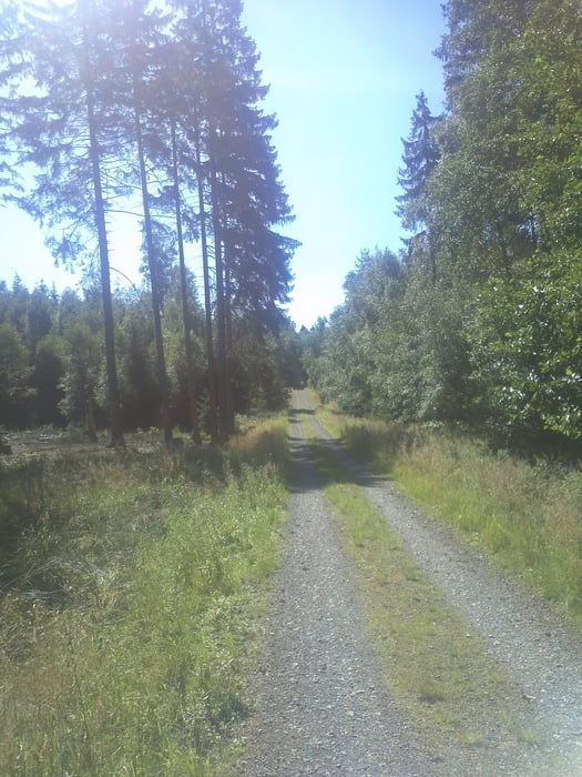
Tour gallery

Tour map and elevation profile

  • Open Street Map
  • Google
Minimum height 203 m Maximum height 400 m Detailed view

More about the tour author

Hoeinger
Member since 2012

Send private message

Comments

MichaelJudith on 03.10.2015

Schöne Tour

Schöne Tour um einfach mal ruhig und ohne großen Schnickschnack ein paar Kilometer zu machen. Obwohl überwiegend auf geschotterten Wegen, gibt es dann doch gelegentlich die Möglichkeit sich und das Bike so richtig einzusauen um nicht in den Verdacht zu geraden, doch nur die ganze Zeit im Torhaus rumgesessen zu haben.

GPS tracks

Trackpoints
  • GPX / Garmin Map Source (gpx) download
  • TCX / Garmin Training Center® (tcx) download
  • CRS / Garmin Training Center® (crs) download
  • Google Earth (kml) download
  • G7ToWin (g7t) download
  • TTQV (trk) download
  • Overlay (ovl) download
  • Fugawi (txt) download
  • Kompass (DAV) Track (tk) download
  • Track data sheet (pdf) download
  • Original file of the author (gpx) download

More about the tour author

Hoeinger
Member since 2012

Send private message
Share track
Add to my favorites
Remove from my favorites
Edit tags
My score
Rate
Track: Aupketal - Möhnesee
Type: Mountain bike
Distance: 27,3 km
Evaluated on:
Duration:
Day(s)
Hour(s)
Minute(s)
Score: Landscape Fun factor Fitness Technique