Login

Forgot your login?

Cookies have to be accepted!
Your browser's cookie functionality is disabled. Please enable this functionality.

Not a member yet?

Register now
Login

Available for registred users only

Log in to use this feature.

Forgot your login?

Cookies have to be accepted!
Your browser's cookie functionality is disabled. Please enable this functionality.

Not a member yet?

Register now
Filter
Categories
Advanced filters
  • Distance (km)
  • Height
Save filters Reset filter

TrackRank

QRCode

Technical data

Distance72,8 km Height1744 m Way down2159 m Duration05:36 h:m Date21.08.2012
Scores Author User Landscape Fun factor Fitness Technique

Statistics

396 Views 1 Score 68 Downloads 5.00 Average
Rate
  • Track data sheet
  • Directions
  • Downloads
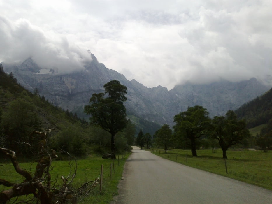
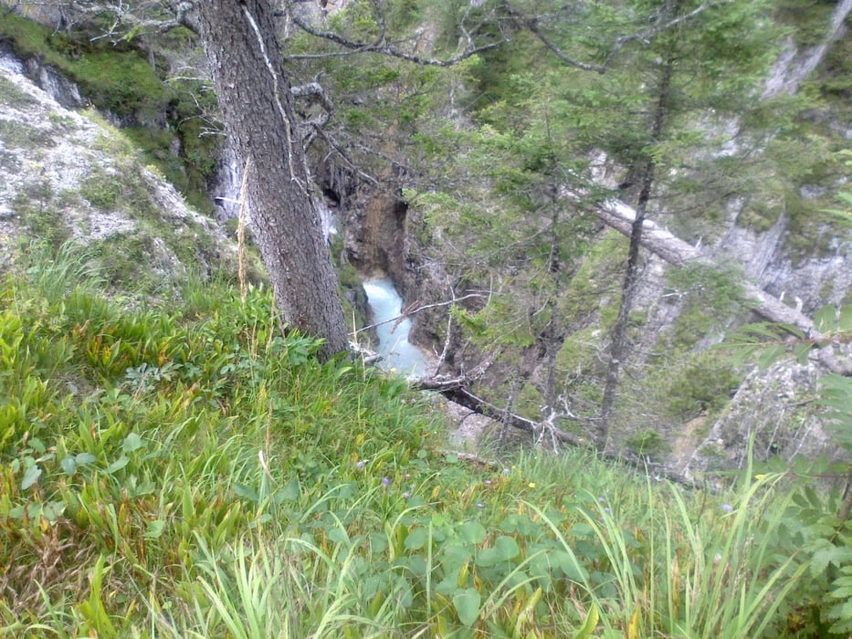
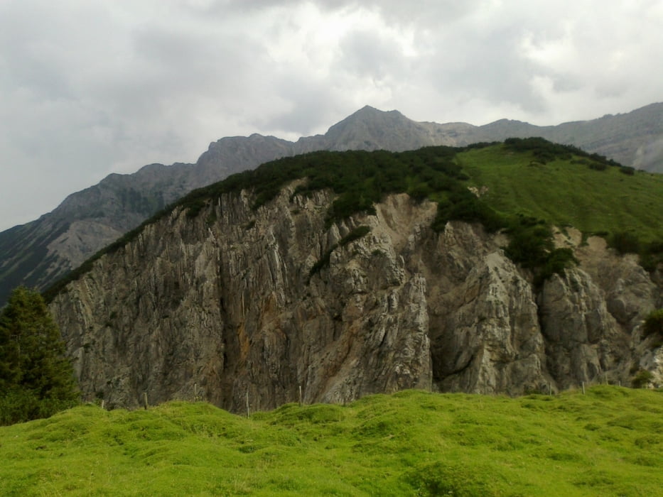
Karwendelklassiker mit Abstecher zur Engalm. 1. Etappe der MIGRA!

Tour gallery

Tour map and elevation profile

  • Open Street Map
  • Google
Minimum height 541 m Maximum height 1787 m Detailed view

More about the tour author

mitter
Member since 2008

Send private message

Comments

Scipione on 09.09.2012

Mit der Bahn von München

Super Tour. Mein Tipp: Mit der Bahn frühmorgens (06.30)von München nach Mittenwald und dann am Spätnachmittag von Jenbach wieder mit der Bahn zurück nach München. Geht mit Bayernticket. Nur für Jenbach bis Kufstein zusätzl. Ticket erforderlich.
Downhill vom Plumsjoch techn. nicht ganz einfach aber klasse. Landschaftl. grandiose Tour, wer will kann Falkenhütte und Laliderwand (sicher hier auch beschrieben) einbauen.

Schön, dass Tirol auch für die Bayern was zu bieten hat. Guter Bahn-Tipp!
Mit dem Zug nach Scharnitz.

GPS tracks

Trackpoints
  • GPX / Garmin Map Source (gpx) download
  • TCX / Garmin Training Center® (tcx) download
  • CRS / Garmin Training Center® (crs) download
  • Google Earth (kml) download
  • G7ToWin (g7t) download
  • TTQV (trk) download
  • Overlay (ovl) download
  • Fugawi (txt) download
  • Kompass (DAV) Track (tk) download
  • Track data sheet (pdf) download
  • Original file of the author (gpx) download

More about the tour author

mitter
Member since 2008

Send private message
Share track
Add to my favorites
Remove from my favorites
Edit tags
My score
Rate
Track: Karwendelhaus-Plumssattel
Type: Mountain bike
Distance: 72,8 km
Evaluated on:
Duration:
Day(s)
Hour(s)
Minute(s)
Score: Landscape Fun factor Fitness Technique