


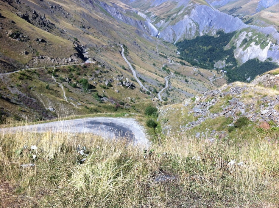
Wer nicht nur die legendäre l'Alpe d´Huez bezwingen will (1850 m), fährt weiter über den Col de Sarenne (1999 m) mit Einkehrmöglichkeit auf der Passhöhe. Und wieder runter bis zum Lac du Chambon (Stausee) und wieder zurück zum Ausgangspunkt.
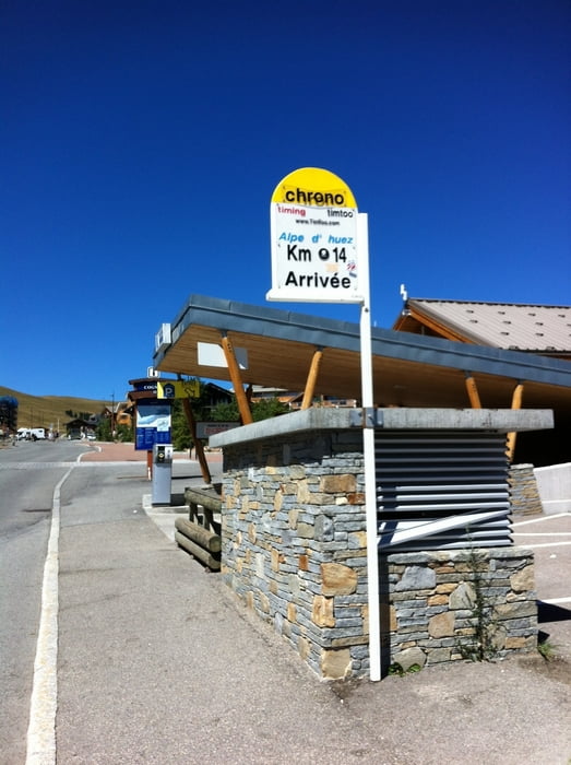
- Übrigens das Ziel der Tour ist nicht am Ortseingang bei den vielen schönen Lädchen und dem großen Banner (ARRIVEE-FINISH) über der Strasse, sondern etwas weiter oben. Also nochmal etwas in die Pedale treten.
Further information at
http://de.wikipedia.org/wiki/L’Alpe_d’HuezTour gallery
Tour map and elevation profile
Minimum height 716 m
Maximum height 2002 m
More about the tour author
|
|
Matthias_Schnabl |
Comments

GPS tracks
Trackpoints-
GPX / Garmin Map Source (gpx) download
-
TCX / Garmin Training Center® (tcx) download
-
CRS / Garmin Training Center® (crs) download
-
Google Earth (kml) download
-
G7ToWin (g7t) download
-
TTQV (trk) download
-
Overlay (ovl) download
-
Fugawi (txt) download
-
Kompass (DAV) Track (tk) download
-
Track data sheet (pdf) download
-
Original file of the author (gpx) download
More about the tour author
|
|
Matthias_Schnabl |
Add to my favorites
Remove from my favorites
Edit tags
Open track
My score
Rate