
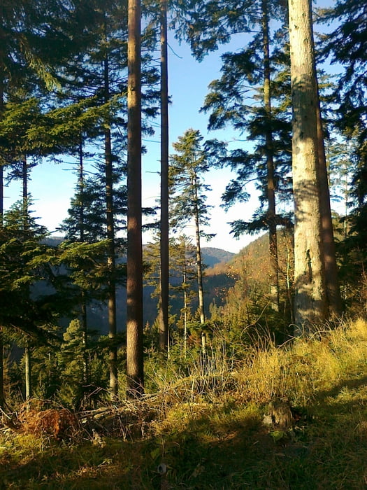

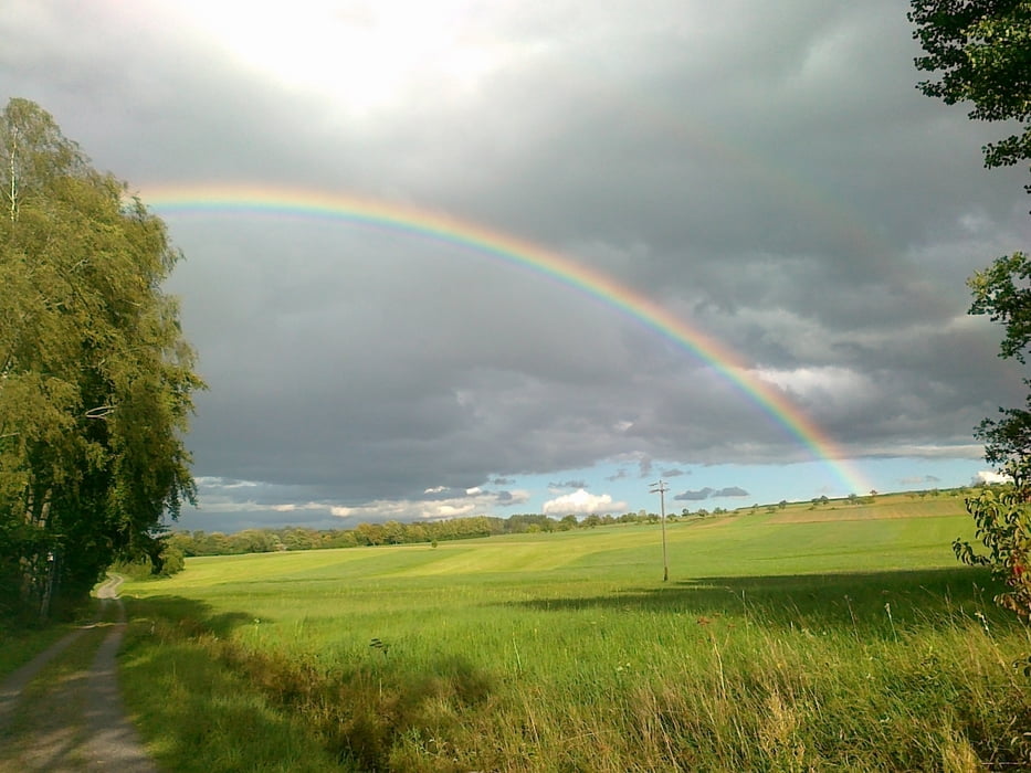
Schöner Rundkurs von Simmozheim aus an den Hängen von Nagoldtal. Zum Teil mit netten Trails, auch für Anfänger geeignet. Es ist von allem etwas dabei, Teer, Schotter und Trails. Abfahrten und Anstiege rund um Bad Liebenzell . Gefahren bin ich die Tour gegen den Uhrzeigersinn! Getränke und gutes Essen im Biergarten bietet die Gaststätte Hirsch in Maisenbach-Zainen. Achtung schaut aber erst im Internet nach, wegen den Öffnungszeiten! Anbei ein Link! Viel Spaß beim Nachfahren.
Further information at
http://www.maisenbacher-hirsch.deTour gallery
Tour map and elevation profile
Minimum height 313 m
Maximum height 658 m
More about the tour author
|
|
tweissi |
Comments

Startpunkt fürs Navi, Mittelfeldstraße in 75397 Simmozheim beim Getränkehandel Laich
GPS tracks
Trackpoints-
GPX / Garmin Map Source (gpx) download
-
TCX / Garmin Training Center® (tcx) download
-
CRS / Garmin Training Center® (crs) download
-
Google Earth (kml) download
-
G7ToWin (g7t) download
-
TTQV (trk) download
-
Overlay (ovl) download
-
Fugawi (txt) download
-
Kompass (DAV) Track (tk) download
-
Track data sheet (pdf) download
-
Original file of the author (gpx) download
More about the tour author
|
|
tweissi |
Add to my favorites
Remove from my favorites
Edit tags
Open track
My score
Rate