


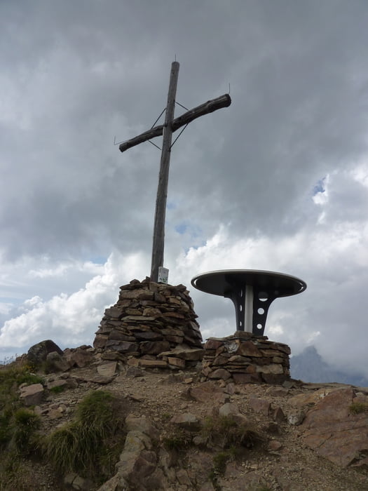
Rundtour vom Staller Sattel auf die Rote Wand und zurück.
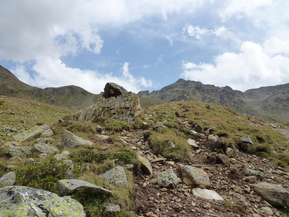
Leichte Bergtour auf die Rote Wand (WW7). Trittsicherheit ist nur auf den letzten Höhenmetern zum Gipfel gefragt.
Bei der Rundtour sind die ersten 200 Hm im Abstieg relativ anspruchsvoll. Es geht steil über Geröll herrunter. (WW7a)
Ca. 2 km vorm Ende sind noch einmal gut 150 Hm zu meistern um zurück zum Staller Sattel zu kommen.
Alternativ wäre der Abstieg wieder der Aufstieg.
Tour gallery

Tour map and elevation profile
Minimum height 2046 m
Maximum height 2812 m
More about the tour author
|
|
Freerider_84 |
Comments

Parkplatz am Staller Sattel. Die Einbahnstraßenregelung auf der ital. Seite sollte man beachten!
In Richtung Osttirol ist der Pass von .30 - 45. geöffnet, in Richtung Südtirol von .00 - .15.
GPS tracks
Trackpoints-
GPX / Garmin Map Source (gpx) download
-
TCX / Garmin Training Center® (tcx) download
-
CRS / Garmin Training Center® (crs) download
-
Google Earth (kml) download
-
G7ToWin (g7t) download
-
TTQV (trk) download
-
Overlay (ovl) download
-
Fugawi (txt) download
-
Kompass (DAV) Track (tk) download
-
Track data sheet (pdf) download
-
Original file of the author (gpx) download
More about the tour author
|
|
Freerider_84 |
Add to my favorites
Remove from my favorites
Edit tags
Open track
My score
Rate