


Eine Reise über die schönsten Pässe der Südalpen mit dem Höhepunkt des Grand Canyon du Verdon.
1. Tag: Martinszell-Aosta 454 Km
2. Tag: Aosta-Briancon 248 Km
3. Tag: Briancon-Castellane 251 Km
4. Tag: Castellane-Barcelonnette 239 Km
5. Tag: Barcelonnette-Bourg d`Oisans 240 Km
6. Tag: Bourg d`Osians-Argentiere 279 Km
7. Tag: Argentiere-Martinszell 422 Km
Bis auf zwei Autobahnstücke in der Schweiz wegen Zeitersparnis Fahrspass und Kurven ohne Ende. Dazu eine atemberaubende Landschaft.
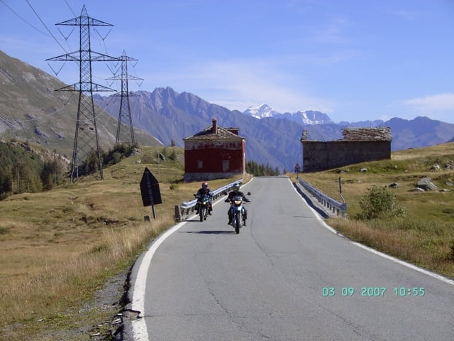
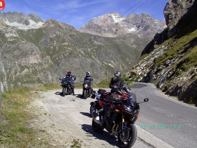
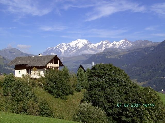
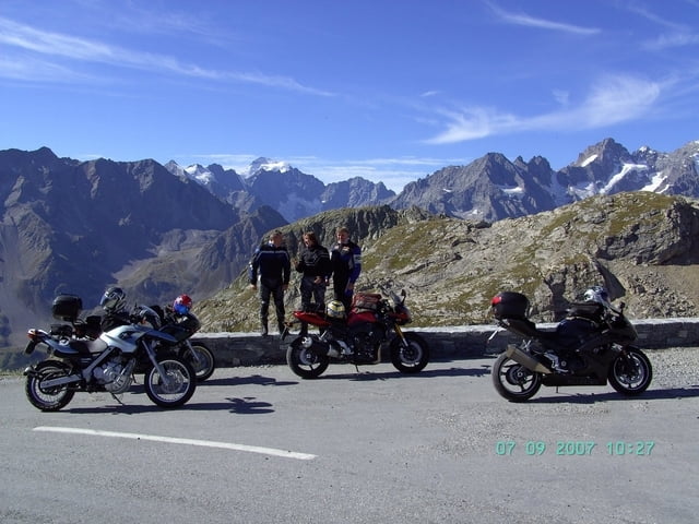
Tour gallery
Tour map and elevation profile
Minimum height 399 m
Maximum height 2799 m
More about the tour author
|
|
yr1willi |
Comments

Start war Martinszell im Allgäu
GPS tracks
Trackpoints-
GPX / Garmin Map Source (gpx) download
-
TCX / Garmin Training Center® (tcx) download
-
CRS / Garmin Training Center® (crs) download
-
Google Earth (kml) download
-
G7ToWin (g7t) download
-
TTQV (trk) download
-
Overlay (ovl) download
-
Fugawi (txt) download
-
Kompass (DAV) Track (tk) download
-
Track data sheet (pdf) download
-
Original file of the author (g7t) download
More about the tour author
|
|
yr1willi |
Add to my favorites
Remove from my favorites
Edit tags
Open track
My score
Rate