


08.08.2012Schwangau – Plansee – Eibsee – Ehrwald
59,64km ; 1493 HM
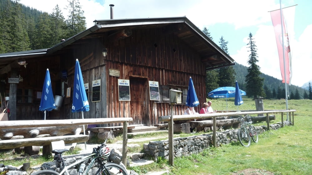
Auffahrt nach Neuschwanstein, viele Leute, viel fahrbar. Entlang des Pöllatbaches auf dem Maximilianweg. Kaffe und Hefezopf auf der Jägerhütte.
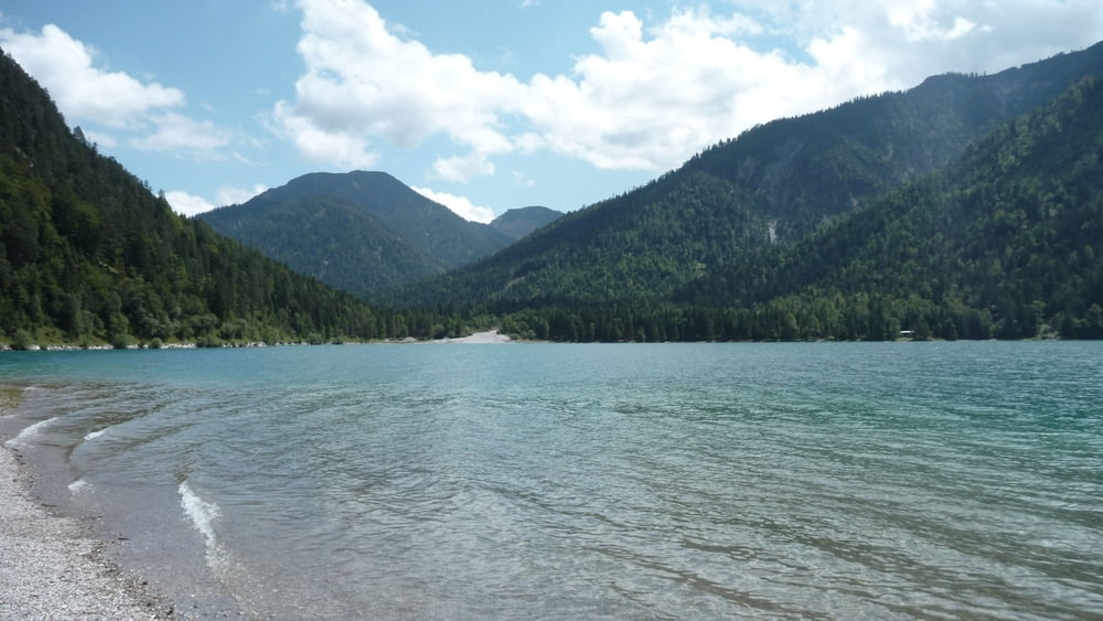
Schwerer, aber super Trail namens Schützensteig ins Tal. Auf der Strasse bis zum Plansee. Langer Panoramaweg auf Schotter entlang des Sees. Dann auf asphaltiertem Fahrradweg entlang der Strasse bis nach Griesen. Auf schmalem Schotterweg über Grainau zum kleinen Badersee mit riesigen Forellen.
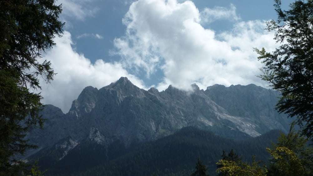
Weiter zum Eibsee auf Schotterwegen. Noch 450 HM bis zur Hochthörlehütte, danach rasante Abfahrt nach Ehrwald.
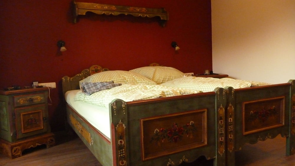
Auf Empfehlung Einkehr in Mair´s Landgasthof, welcher erst vor 5 Wochen eröffnet hatte. Ansprechende Einrichtung, heiße Dusche und lecker Pfifferlinge mit Semmelknödel. Erschöpft geht’s früh zu Bett.
Tour gallery
Tour map and elevation profile
Minimum height 750 m
Maximum height 1513 m
More about the tour author
|
|
tbak |
Comments
Anfahrt über Füssen bis zum Parkplatz Neuschwanstein.
Ansonsten mit der Bahn bis nach Füssen und dann per Bike.
GPS tracks
Trackpoints-
GPX / Garmin Map Source (gpx) download
-
TCX / Garmin Training Center® (tcx) download
-
CRS / Garmin Training Center® (crs) download
-
Google Earth (kml) download
-
G7ToWin (g7t) download
-
TTQV (trk) download
-
Overlay (ovl) download
-
Fugawi (txt) download
-
Kompass (DAV) Track (tk) download
-
Track data sheet (pdf) download
-
Original file of the author (gpx) download
More about the tour author
|
|
tbak |
Add to my favorites
Remove from my favorites
Edit tags
Open track
My score
Rate
Reverse
TY!