


Parkmöglichkeiten: Talstation Tafamuntbahn
Öffentliche Verkehrsmittel: Montafonerbahn Bludenz - Schruns, Landbus Linie 85 Schruns-Partenen-(Bielerhöhe-Kops), Haltestelle Café Backstuba in Partenen.
Rückfahrt über die Bielerhöhe mit dem Landbus Linie 85.
Ausgangspunkt: Partenen - Tafamuntbahn
Ziel: Zeinisjoch/Kopssee
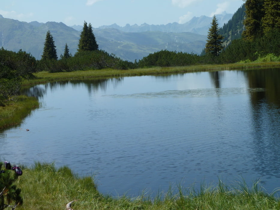
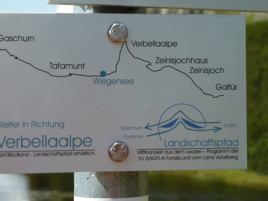
Wegverlauf: Auffahrt mit der Seilbahn zur Bergstation (1.550 m). Anstieg zunächst durch
Wald, dann durch schöne Hochmoorlandschaft zum Wiegensee (1.940 m)
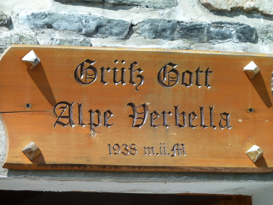
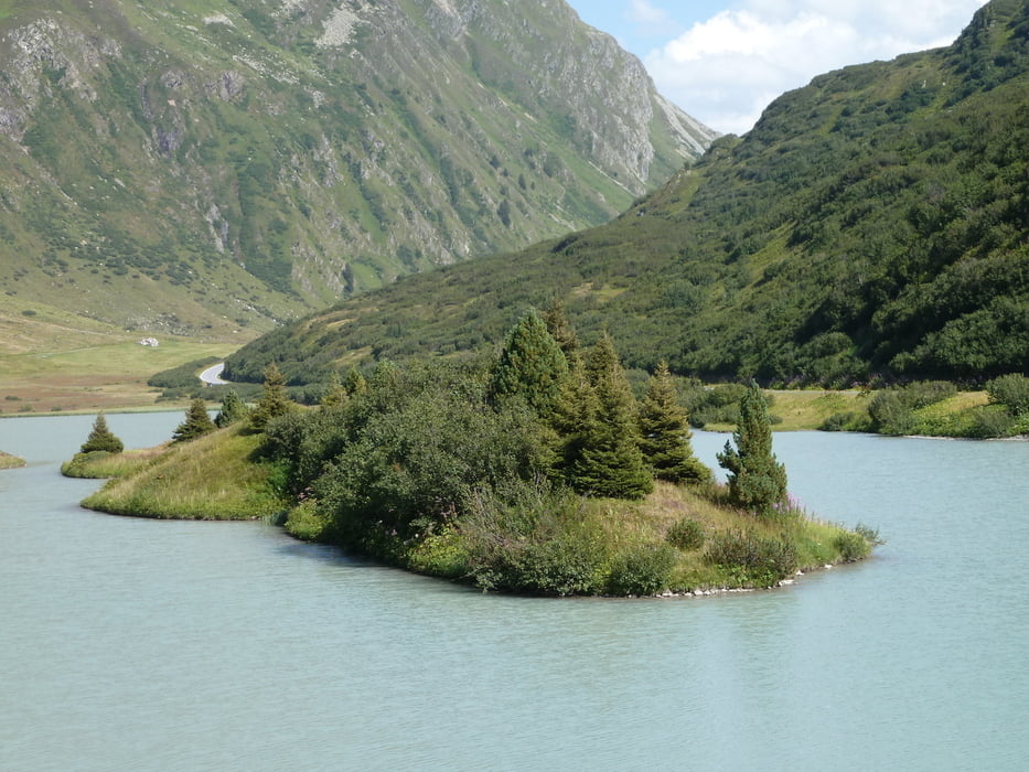
und weiter in das Verbellatal zur Verbellaalpe. Leichter Abstieg zum Kopssee
(Stausee, 1.822 m) am Zeinisjoch. Rückfahrt mit dem Bus.
Höhenmeter bergab: 90 m
Charakteristik: Idyllisch gelegener See mit geschützter Hochmoorlandschaft, herrlicher Blick
auf die Gipfel und Gletscher der Silvretta.
Silvretta-Hochalpenstraße: Panoramastraße zwischen Partenen und Galtür/Tirol,
mautpflichtig, nur im Sommer befahrbar.
Einkehrmöglichkeiten: Verbellaalpe (während der Alpzeit bewirtschaftet), Gasthaus Zeinisjoch
Kartenmaterial: Alpenpark Montafon, 1:50.000
Further information at
http://www.vorarlberg.com/sommer/montafon/gaschurn-partenen:hubs:tafamuntbahn/wandern/wiegensee-kopssee/tafamuntbahn-verbellatal-zeinisjoch-hochmoorTour gallery
Tour map and elevation profile
Minimum height 1586 m
Maximum height 2038 m
More about the tour author
|
|
jok |
Comments

GPS tracks
Trackpoints-
GPX / Garmin Map Source (gpx) download
-
TCX / Garmin Training Center® (tcx) download
-
CRS / Garmin Training Center® (crs) download
-
Google Earth (kml) download
-
G7ToWin (g7t) download
-
TTQV (trk) download
-
Overlay (ovl) download
-
Fugawi (txt) download
-
Kompass (DAV) Track (tk) download
-
Track data sheet (pdf) download
-
Original file of the author (gpx) download
More about the tour author
|
|
jok |
Add to my favorites
Remove from my favorites
Edit tags
Open track
My score
Rate