
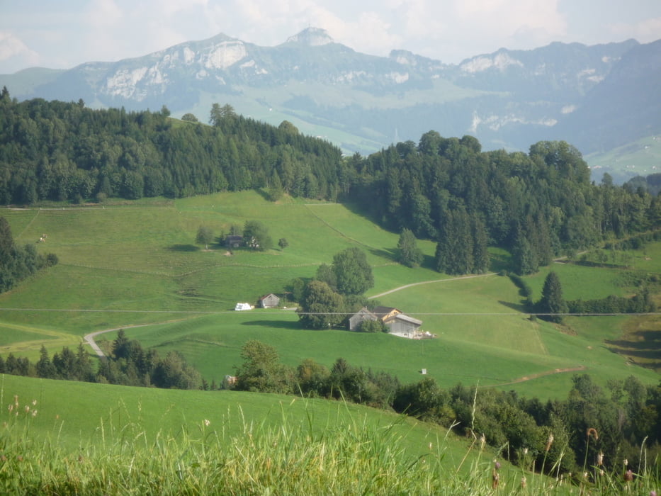

Start ist in Appenzell mit Ankunft in Buchs im Rheintal. Es geht auf herrlichen Wegen rund um den imposanten Säntis mit Blick auf die Kurfürsten im 2. Teil der Tour.
Tour map and elevation profile
Minimum height 471 m
Maximum height 1454 m
More about the tour author
|
|
aschoenhaar |
Comments

Wir sind die Tour im Rahmen einer Transalp gefahren. Ich bin was Tourenaufzeichnung und Bearbeitung betrifft noch ein absoluter Frischling. Somit bitte ich die "Experten", die das jetzt kritisch beäugen, um Nachsicht!
GPS tracks
Trackpoints-
GPX / Garmin Map Source (gpx) download
-
TCX / Garmin Training Center® (tcx) download
-
CRS / Garmin Training Center® (crs) download
-
Google Earth (kml) download
-
G7ToWin (g7t) download
-
TTQV (trk) download
-
Overlay (ovl) download
-
Fugawi (txt) download
-
Kompass (DAV) Track (tk) download
-
Track data sheet (pdf) download
-
Original file of the author (gpx) download
More about the tour author
|
|
aschoenhaar |
Add to my favorites
Remove from my favorites
Edit tags
Open track
My score
Rate