


(DIE FOTOS SIND VOM 28.04.2013)
STARTPUNKT: Hbf. Osnabrück
ZIEL: Hbf. Ibbenbüren
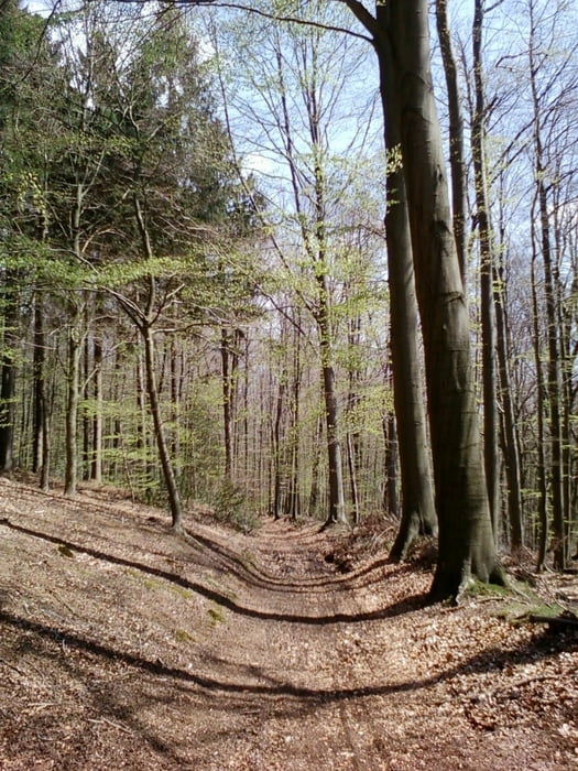
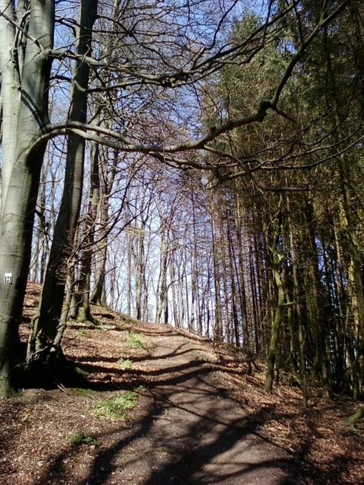
Nach ca. 9 km flacher (Einfahr-) Strecke, geht´s recht knackig hoch auf den Teuto-Kamm. Ich habe den Punkt Kondition mit 5 Sternen bewertet, da der weiche Waldboden, u. a. und besonders beim 1. uphill, Kraft kostet. Das Gelände der Tour ist sehr abwechslungsreich und in einigen Abschnitten auch anspruchsvoll.
STRECKENVERLAUF: Osnabrück - Hagen a. T. W. - Lengerich - Tecklenburg - Ibbenbüren
Further information at
http://www.tecklenburger-land-tourismus.de/urlaubsregion/wandern/hermannsweg.htmlTour gallery
Tour map and elevation profile
Minimum height 63 m
Maximum height 231 m
More about the tour author
|
|
Ratzeputz |
Comments
1.) A 1 / A 33 / Ibbenbüren / Parkplatz Hbf. Ibbenbüren / mit dem Zug nach Osnabrück
2.) A 1 / Abfahrt Greven / Saerbeck / Ibbenbüren / Parkplatz Hbf. Ibbenbüren / " " "
3.) A 1 / A 33 / Kreuz Osnabrück / Osnabrück / Parkplatz Hbf. Osanbrück
GPS tracks
Trackpoints-
GPX / Garmin Map Source (gpx) download
-
TCX / Garmin Training Center® (tcx) download
-
CRS / Garmin Training Center® (crs) download
-
Google Earth (kml) download
-
G7ToWin (g7t) download
-
TTQV (trk) download
-
Overlay (ovl) download
-
Fugawi (txt) download
-
Kompass (DAV) Track (tk) download
-
Track data sheet (pdf) download
-
Original file of the author (gpx) download
More about the tour author
|
|
Ratzeputz |
Add to my favorites
Remove from my favorites
Edit tags
Open track
My score
Rate
Schöne Strecke