


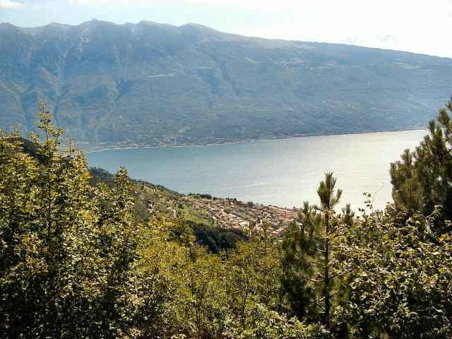
Kurze knackige Tour zum Rifugio Cima Piemp. Steile Auffahrt komplett auf Asphalt. Der Rückweg teilweise auf Schottertrail.
Tour gallery
Tour map and elevation profile
Minimum height 443 m
Maximum height 1174 m
More about the tour author
|
|
Uli |
Comments

Start ist in Oldesio am Ortseingang links auf dem Parkplatz.
Von Riva kommend geht es nach einem längeren Tunnel scharf rechts in Richtung Tignale.
Von Riva kommend geht es nach einem längeren Tunnel scharf rechts in Richtung Tignale.
GPS tracks
Trackpoints-
GPX / Garmin Map Source (gpx) download
-
TCX / Garmin Training Center® (tcx) download
-
CRS / Garmin Training Center® (crs) download
-
Google Earth (kml) download
-
G7ToWin (g7t) download
-
TTQV (trk) download
-
Overlay (ovl) download
-
Fugawi (txt) download
-
Kompass (DAV) Track (tk) download
-
Track data sheet (pdf) download
-
Original file of the author (g7t) download
More about the tour author
|
|
Uli |
Add to my favorites
Remove from my favorites
Edit tags
Open track
My score
Rate