


Waldprechtsweier - Bernstein - Loffenau - Teufelsmühle - Bad Herrenalb - Bernbach - Moosbrunn - Waldprechtsweier.
Eine einfache aber landschaftlich schöne Tour auf zwei Gipfel des Nordschwarzwaldes. Bis Moosbrunn größtenteils breite Wald- und Forstwege. Nur die letzten 300 Hm zur Teufelsmühle sind Asphalt. Das Stück vom Parkplatz Teufelsmühle bis Bad Herrenalb hinunter ist ein kurzer Singletrail. Ab Moosbrunn bin ich Straße gefahren.
Der Track ist von Hand gezeichnet, da der augezeichnete einige Aussetzer hatte.
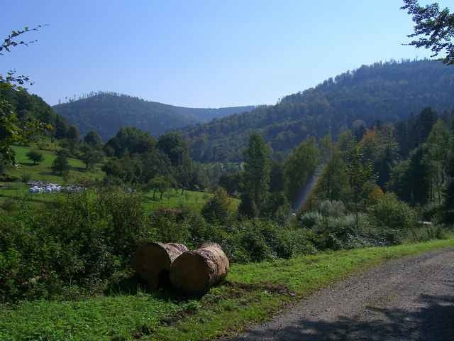
Tour gallery
Tour map and elevation profile
Minimum height 192 m
Maximum height 885 m
More about the tour author

|
klemid |
Comments

A5 Bis Rastatt, dann Muggensturm, Waldprechtsweier
GPS tracks
Trackpoints-
GPX / Garmin Map Source (gpx) download
-
TCX / Garmin Training Center® (tcx) download
-
CRS / Garmin Training Center® (crs) download
-
Google Earth (kml) download
-
G7ToWin (g7t) download
-
TTQV (trk) download
-
Overlay (ovl) download
-
Fugawi (txt) download
-
Kompass (DAV) Track (tk) download
-
Track data sheet (pdf) download
-
Original file of the author (gpx) download
More about the tour author
|
|
klemid |
Add to my favorites
Remove from my favorites
Edit tags
Open track
My score
Rate