
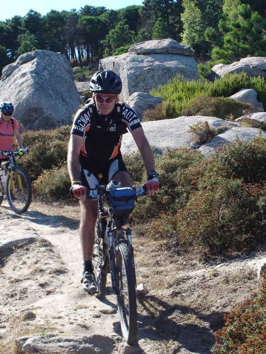

Ausgangspunkt ist Procchio, ein Städtchen mit nettem Strand und einem Radverleih, der sogar recht passables Material hat! (Wir mussten wegen eines zerstörten Laufrades auf eines seiner Räder greifen (Specialized Rockhopper) und das Rad gefiel! Die Tour startet mit einer Asfalt Einrollrunde Richtung Marciana Marine, dann bergauf und dann kommen die wunderschönen Passagen mit z.T. kniffligen Trails in den ausgewaschenen Sandsteinrinnen und flotten, flowigen Trails durch niederen Wald und Buschwerk.
Tour gallery

Tour map and elevation profile
Minimum height 4 m
Maximum height 236 m
More about the tour author

|
NoDoc |
Comments

GPS tracks
Trackpoints-
GPX / Garmin Map Source (gpx) download
-
TCX / Garmin Training Center® (tcx) download
-
CRS / Garmin Training Center® (crs) download
-
Google Earth (kml) download
-
G7ToWin (g7t) download
-
TTQV (trk) download
-
Overlay (ovl) download
-
Fugawi (txt) download
-
Kompass (DAV) Track (tk) download
-
Track data sheet (pdf) download
-
Original file of the author (g7t) download
More about the tour author
|
|
NoDoc |
Add to my favorites
Remove from my favorites
Edit tags
Open track
My score
Rate