


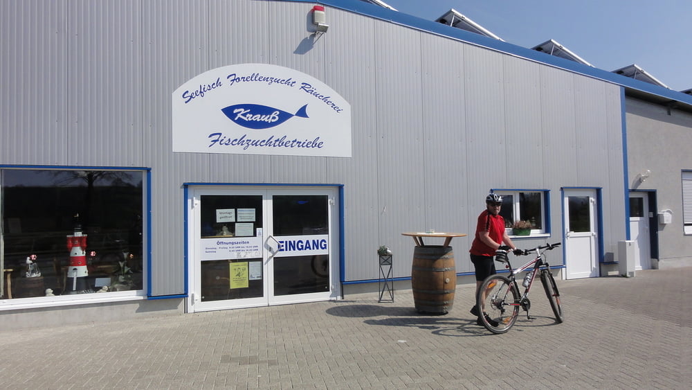
Die Tour führt von Alsfeld die ersten 20 km vorwiegend über gut befestigte Schotterwege. Von Alsfeld geht es durch die Steinfirst nach Eifa und von dort nach Elbenrod (ca. 3% Steigung, 150 HM). Über Immichenhain (3% Steigung, 150 HM) geht es nach Kleinropperhausen und von dort auf den neuen Rotkäppchen-Radweg. Von dort aus geht es über eine kleine Seitenstraße (3 km) nach Salmshausen und von dort über den Schwalmradweg nach Alsfeld zurück. In Schrecksbach gibt es einen schönen Fischladen mit kleinem Restaurant, in dem es auch über die Mittag zu essen und zu trinken gibt.
Tour gallery


Tour map and elevation profile
Minimum height 219 m
Maximum height 358 m
More about the tour author
|
|
mikelcurry |
Comments

In Alsfeld startet man ab der Polizeistation An der Au
GPS tracks
Trackpoints-
GPX / Garmin Map Source (gpx) download
-
TCX / Garmin Training Center® (tcx) download
-
CRS / Garmin Training Center® (crs) download
-
Google Earth (kml) download
-
G7ToWin (g7t) download
-
TTQV (trk) download
-
Overlay (ovl) download
-
Fugawi (txt) download
-
Kompass (DAV) Track (tk) download
-
Track data sheet (pdf) download
-
Original file of the author (gpx) download
More about the tour author
|
|
mikelcurry |
Add to my favorites
Remove from my favorites
Edit tags
Open track
My score
Rate