


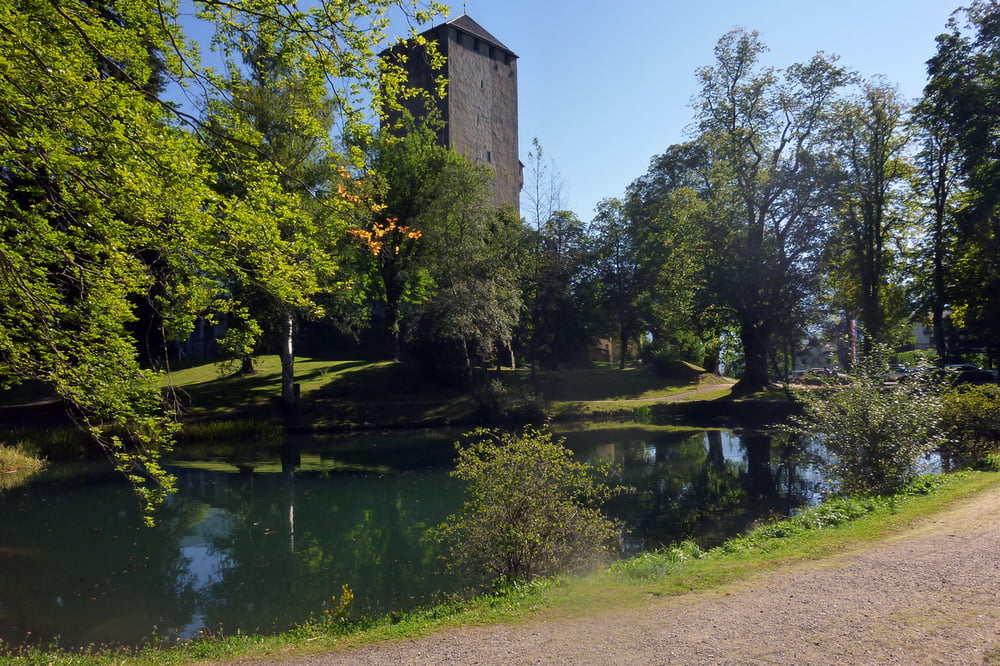
Lienz Hauptbahnhof- Schloß Bruck (tw. über Schlosswiese Single Trail aber nett) - Variante über Straße zum Schloß Bruck
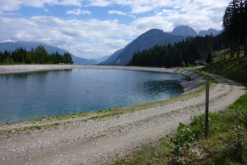
Trinkwasserbrunnen auf der Strecke bis "Taxer Moos Speicherteil"- bis dorthin teilweise sehr steile Forststraße
an heißen Sommertagen Baden im Speicherteich !
dann angenehme Steigung bis zum höchsten Punkt der Tour (man quert die Skipiste)
nach netter Abfahrt im Wald nochmals kurzer Anstieg bis Reiter Kirchl.
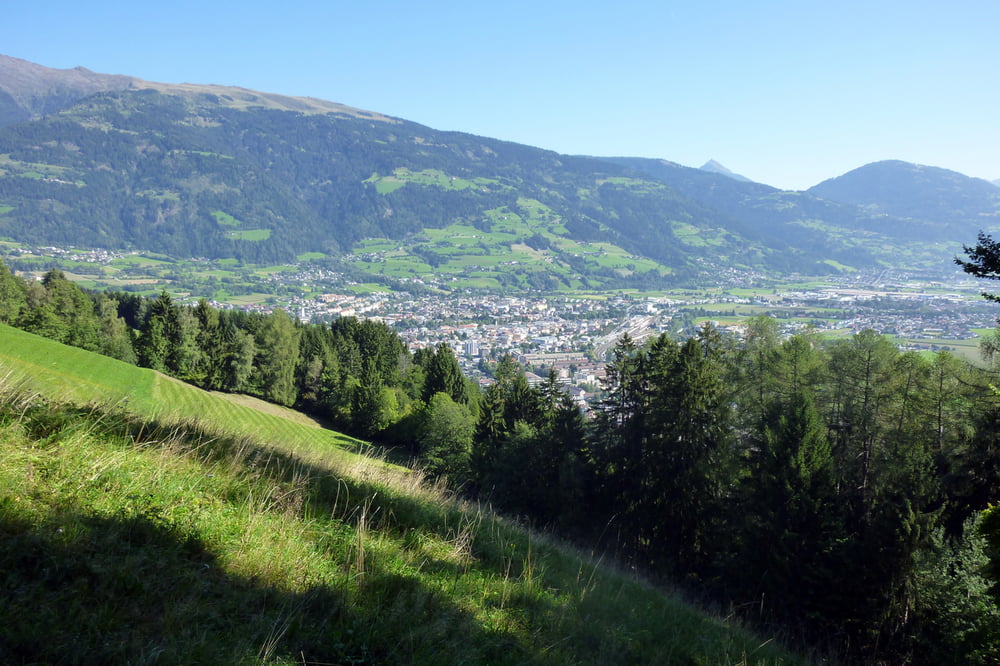
zurück über Leisach, entlang der Drau bis Lienz Hauptbahnhof
Tour gallery
Tour map and elevation profile
Minimum height 685 m
Maximum height 1202 m
More about the tour author
|
|
chrissi9900 |
Comments

GPS tracks
Trackpoints-
GPX / Garmin Map Source (gpx) download
-
TCX / Garmin Training Center® (tcx) download
-
CRS / Garmin Training Center® (crs) download
-
Google Earth (kml) download
-
G7ToWin (g7t) download
-
TTQV (trk) download
-
Overlay (ovl) download
-
Fugawi (txt) download
-
Kompass (DAV) Track (tk) download
-
Track data sheet (pdf) download
-
Original file of the author (gpx) download
More about the tour author
|
|
chrissi9900 |
Add to my favorites
Remove from my favorites
Edit tags
Open track
My score
Rate