


Rund um Lienz, die meisten Radwege sind SingleTracks, diesen Weg habe ich mir extra für meine Kinder ab ca. 7 Jahren ausgesucht, in meinen Augen gut geeignet ("Abenteuerweg"), teilweise kurze Schiebestrecken (wurzelige Wege, . .)
rund um Schloßbruck - es folgt steilstes Stück der Route zum Gasthaus Gribelehof
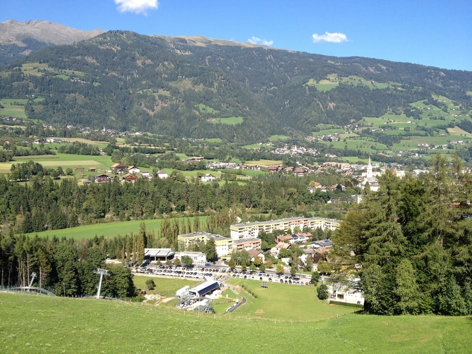
schöner Blick auf Lienz, netter Kinderspielplatz!
über Waldweg bis Leisach: mehrere Dorfbrunnen mit Trinkwasser
Leisach - Amlach bis Gasthaus Waldschenke - netter Biergarten
möglicher nächster Stop für Kinder beim Amlacherhof (Amlach): zahlreiche Spielmöglichkeiten:Trampolin, Gocart, Minigolf, . .
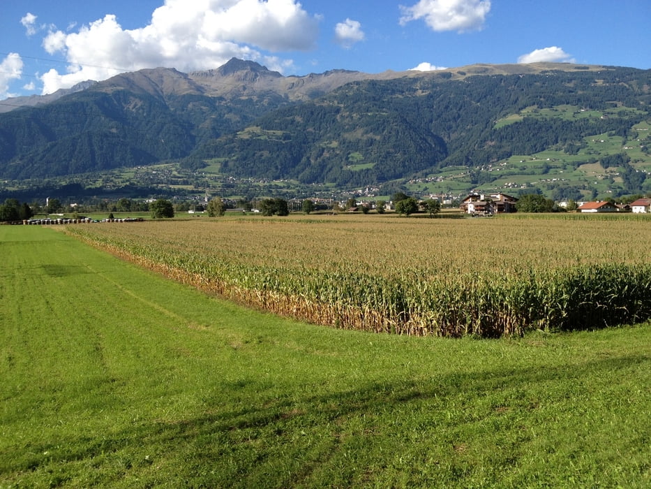
weiter entlang Felder auf Südseite im Schatten bis Ulrichsbichl, Tristach - Variante durch Ortschaften fahren - wenig Verkehr - auch sehr nett . . .
von hier aus könnte man die Tour noch weiter ausdehnen: Richtung Lavant . . .
wir sind entlang Drau wieder bis Lienz, Stadtzentrum: ein Bier für Mama und Papa, Eis für die Kinder . . .
Tour gallery
Tour map and elevation profile
Minimum height 671 m
Maximum height 785 m
More about the tour author
|
|
chrissi9900 |
Comments

GPS tracks
Trackpoints-
GPX / Garmin Map Source (gpx) download
-
TCX / Garmin Training Center® (tcx) download
-
CRS / Garmin Training Center® (crs) download
-
Google Earth (kml) download
-
G7ToWin (g7t) download
-
TTQV (trk) download
-
Overlay (ovl) download
-
Fugawi (txt) download
-
Kompass (DAV) Track (tk) download
-
Track data sheet (pdf) download
-
Original file of the author (gpx) download
More about the tour author
|
|
chrissi9900 |
Add to my favorites
Remove from my favorites
Edit tags
Open track
My score
Rate