


Start in Salbertrand, auf den Jafferau.
Dann ab dem "unteren" Fort den Trail bis hinab nach Bardonecchia.
HINWEIS: Nimm eine Taschenlampe mit, da das 800m - Tunnel schwarz, nass, kalt ist (OK, die Lampe hilft nur gegen schwarz...).
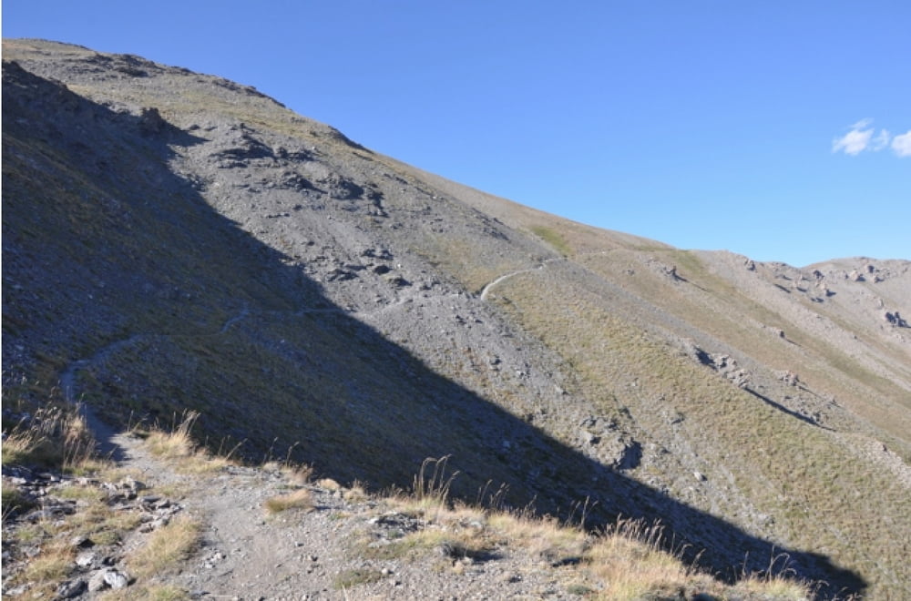
Supertrail hinab nach Bardonecchia
Further information at
http://randypanguitch.wordpress.com/randy-panguitch-startseite/alpenx-mit-dem-mtb/2012_westalpen_start/2012_westalpen_tag_01/Tour gallery
Tour map and elevation profile
Minimum height 954 m
Maximum height 2808 m
More about the tour author
|
|
RandB |
Comments

Parken in Salbertrand etwas westlich der Stadt gibt es einen Parkplatz.
GPS tracks
Trackpoints-
GPX / Garmin Map Source (gpx) download
-
TCX / Garmin Training Center® (tcx) download
-
CRS / Garmin Training Center® (crs) download
-
Google Earth (kml) download
-
G7ToWin (g7t) download
-
TTQV (trk) download
-
Overlay (ovl) download
-
Fugawi (txt) download
-
Kompass (DAV) Track (tk) download
-
Track data sheet (pdf) download
-
Original file of the author (gpx) download
More about the tour author
|
|
RandB |
Add to my favorites
Remove from my favorites
Edit tags
Open track
My score
Rate