
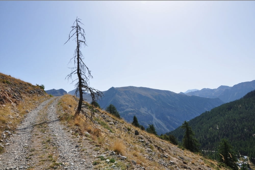

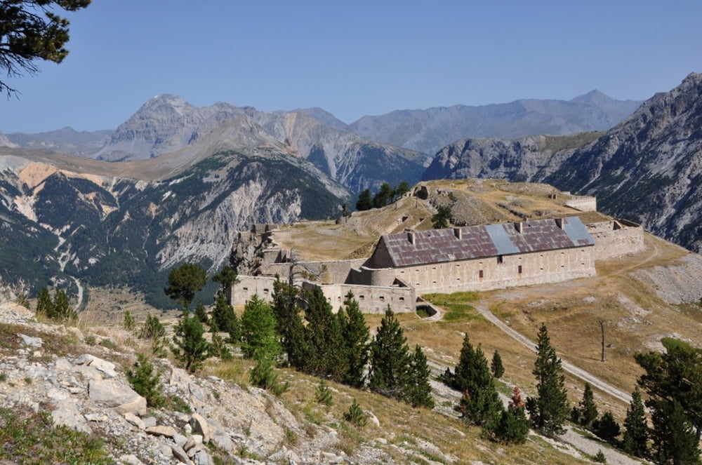
Ab Plampinet über den Grandon, schöner Trail bis Briancon, dann blöde Strecke über den Montgenevre und da ich keinen Track hatte dann ins Tal und wieder hoch nach Thures.
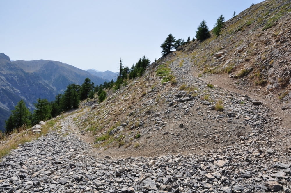
Die Strecke ab Montgenevre über Sagna Longa wäre schöner (holpriger) gewesen, aber da hatte keiner mehr Lust drauf. Aber bei der Rückfahrt vom Col de Peas nach Thures sind wir dann doch die Strecke gefahren.
Further information at
http://randypanguitch.wordpress.com/randy-panguitch-startseite/alpenx-mit-dem-mtb/2012_westalpen_start/2012_westalpen_tag_03/Tour gallery
Tour map and elevation profile
Minimum height 1312 m
Maximum height 2502 m
More about the tour author
|
|
RandB |
Comments

GPS tracks
Trackpoints-
GPX / Garmin Map Source (gpx) download
-
TCX / Garmin Training Center® (tcx) download
-
CRS / Garmin Training Center® (crs) download
-
Google Earth (kml) download
-
G7ToWin (g7t) download
-
TTQV (trk) download
-
Overlay (ovl) download
-
Fugawi (txt) download
-
Kompass (DAV) Track (tk) download
-
Track data sheet (pdf) download
-
Original file of the author (gpx) download
More about the tour author
|
|
RandB |
Add to my favorites
Remove from my favorites
Edit tags
Open track
My score
Rate