
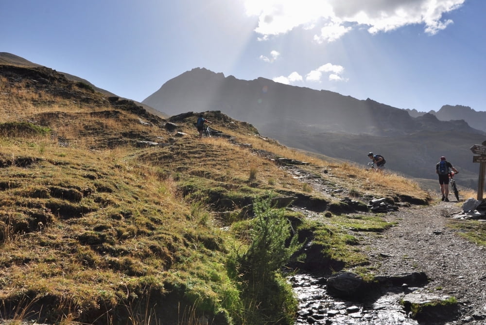

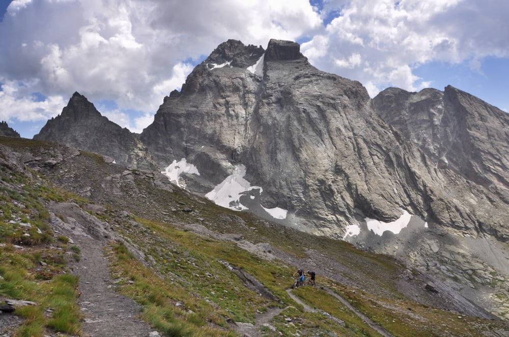
Ab l'Echalp zum Col Vallon, den Col Losetta, den Col Agnel, den Pain de Sucre, den Col Vieux und wieder nach l'Echalp.
Das war die schönste Etappe der Tour (persönliche Meinung).
Den Pain de Sucre muss man nicht besteigen, aber wenn man noch Körner hat (und die Tageszeit nicht zu weit fortgeschritten ist), sollte man das noch machen (wenn man schon mal da ist.
Der Weg ab dem Col Vieux bis l'Echalp ist ein schöner Trail, den man fast ganz fahren kann, nur wenige Meter schieben.
Further information at
http://randypanguitch.wordpress.com/randy-panguitch-startseite/alpenx-mit-dem-mtb/2012_westalpen_start/2012_westalpen_tag_05/Tour gallery

Tour map and elevation profile
Minimum height 1680 m
Maximum height 3207 m
More about the tour author
|
|
RandB |
Comments

GPS tracks
Trackpoints-
GPX / Garmin Map Source (gpx) download
-
TCX / Garmin Training Center® (tcx) download
-
CRS / Garmin Training Center® (crs) download
-
Google Earth (kml) download
-
G7ToWin (g7t) download
-
TTQV (trk) download
-
Overlay (ovl) download
-
Fugawi (txt) download
-
Kompass (DAV) Track (tk) download
-
Track data sheet (pdf) download
-
Original file of the author (gpx) download
More about the tour author
|
|
RandB |
Add to my favorites
Remove from my favorites
Edit tags
Open track
My score
Rate