

Ab Thures ein Stück hoch, um auf dem Waldweg auf der anderen Talseite abfahren zu können.
Dann sausteil den Wanderweg (da kann man auch die Straße hochfahren, das ist besser).
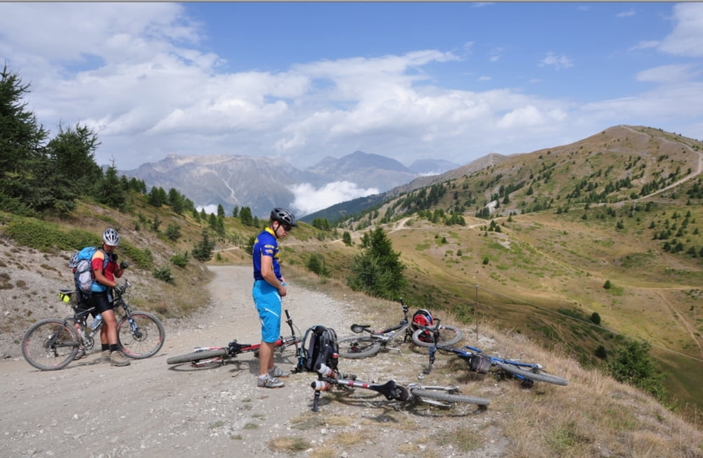
Den Sentiero Gelindo Bordin lanf, die Assietta Straße hoch, auf der Assietta entlang, bis der gta abzweigt.
Den gta bis hinab nach Salbertrand fahren.
Further information at
http://randypanguitch.wordpress.com/randy-panguitch-startseite/alpenx-mit-dem-mtb/2012_westalpen_start/2012_westalpen_tag_07/Tour gallery

Tour map and elevation profile
Minimum height 1068 m
Maximum height 2515 m
More about the tour author
|
|
RandB |
Comments

GPS tracks
Trackpoints-
GPX / Garmin Map Source (gpx) download
-
TCX / Garmin Training Center® (tcx) download
-
CRS / Garmin Training Center® (crs) download
-
Google Earth (kml) download
-
G7ToWin (g7t) download
-
TTQV (trk) download
-
Overlay (ovl) download
-
Fugawi (txt) download
-
Kompass (DAV) Track (tk) download
-
Track data sheet (pdf) download
-
Original file of the author (gpx) download
More about the tour author
|
|
RandB |
Add to my favorites
Remove from my favorites
Edit tags
Open track
My score
Rate