

Gestartet wird in Finale, es geht zunächst die Teerstraße hinauf, am Campingplatz Calvisio vorbei und dann die steile Serpentinenstraße Richtung Verzi.
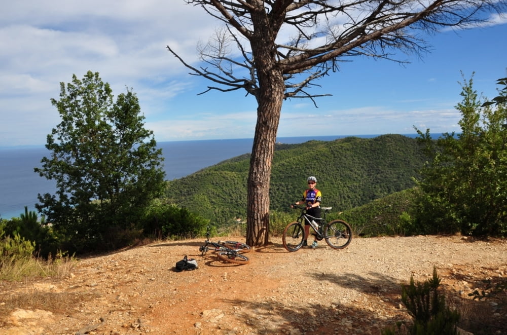
Der Julia Augusta - Schotterstraße folgen und immer dem Track nach, bis man auf der Teerstraße der Manie - Hochebene ankommt.
Bis hierhin ist nicht alles fahrbar, da es manchmal etwas geröllig ist.
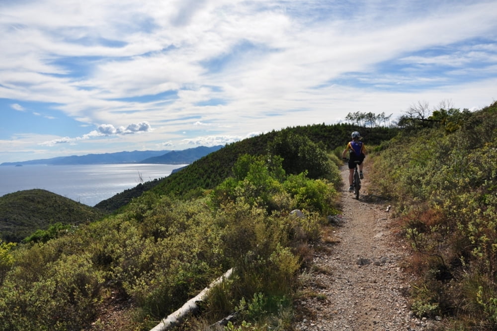
Zunächst geht es noch etwas steil bergauf und dann beginnen die schönen Trails der Manie.
Man fährt auf der Achterbahn hinab und auf Trails (kurzes Stück schotterstraße) bis hinab nach Spotorno.
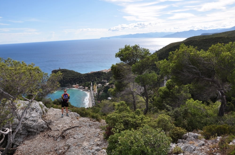
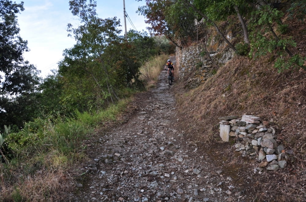
Ab dem Leuchtturm geht es über den Pilgerweg hinab. Dort nicht den Abzweig zur Höhle der Briganden verpassen, Räder abstellen und runtergehen, es lohnt sich.
Der Julia Augusta - Schotterstraße folgen und immer dem Track nach, bis man auf der Teerstraße der Manie - Hochebene ankommt.
Bis hierhin ist nicht alles fahrbar, da es manchmal etwas geröllig ist.
Zunächst geht es noch etwas steil bergauf und dann beginnen die schönen Trails der Manie.
Man fährt auf der Achterbahn hinab und auf Trails (kurzes Stück schotterstraße) bis hinab nach Spotorno.
Ab dem Leuchtturm geht es über den Pilgerweg hinab. Dort nicht den Abzweig zur Höhle der Briganden verpassen, Räder abstellen und runtergehen, es lohnt sich.
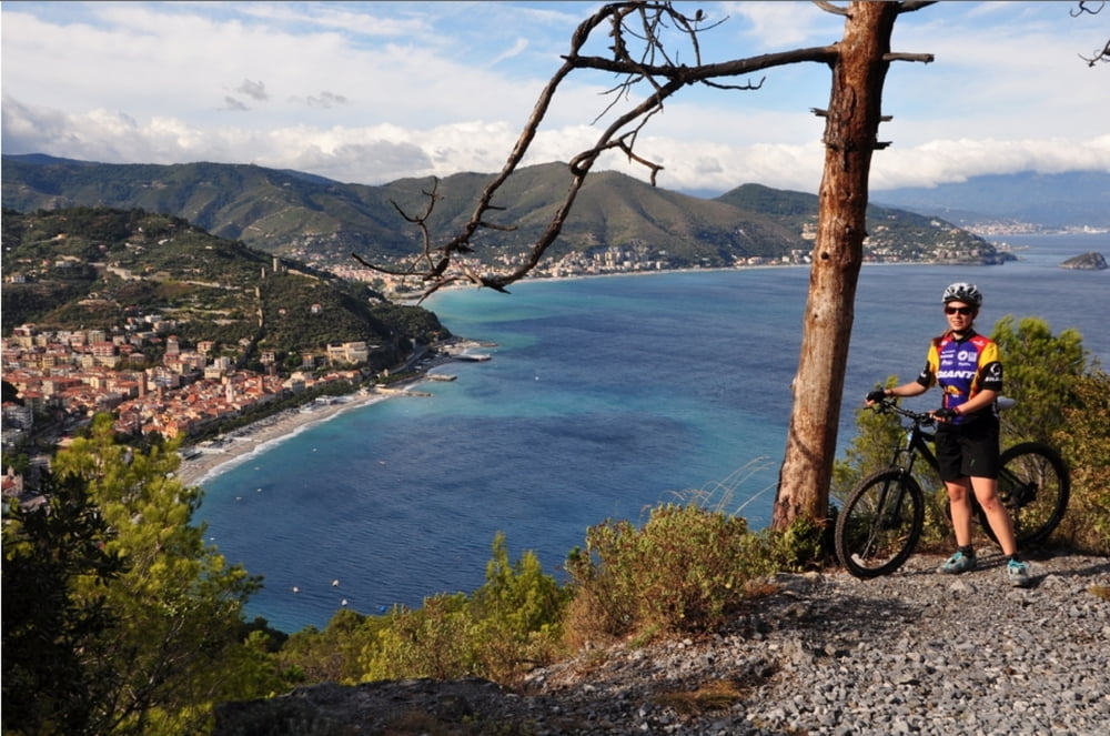
Tour gallery
Tour map and elevation profile
Minimum height 12 m
Maximum height 372 m
More about the tour author
|
|
RandB |
Comments

GPS tracks
Trackpoints-
GPX / Garmin Map Source (gpx) download
-
TCX / Garmin Training Center® (tcx) download
-
CRS / Garmin Training Center® (crs) download
-
Google Earth (kml) download
-
G7ToWin (g7t) download
-
TTQV (trk) download
-
Overlay (ovl) download
-
Fugawi (txt) download
-
Kompass (DAV) Track (tk) download
-
Track data sheet (pdf) download
-
Original file of the author (gpx) download
More about the tour author
|
|
RandB |
Add to my favorites
Remove from my favorites
Edit tags
Open track
My score
Rate