Login

Forgot your login?

Cookies have to be accepted!
Your browser's cookie functionality is disabled. Please enable this functionality.

Not a member yet?

Register now
Login

Available for registred users only

Log in to use this feature.

Forgot your login?

Cookies have to be accepted!
Your browser's cookie functionality is disabled. Please enable this functionality.

Not a member yet?

Register now
Filter
Categories
Advanced filters
  • Distance (km)
  • Height
Save filters Reset filter

TrackRank

QRCode

Technical data

Distance6,8 km Height161 m Way down160 m Duration06:00 h:m Date16.09.2012
Scores Author Landscape Fun factor Fitness Technique

Statistics

802 Views Scores 23 Downloads Average
Rate
  • Track data sheet
  • Directions
  • Downloads

Mooie stadswandeling langs verschillende bezienswaardigheden.

Geschikt voor  kinderwagens en rolstoelen.

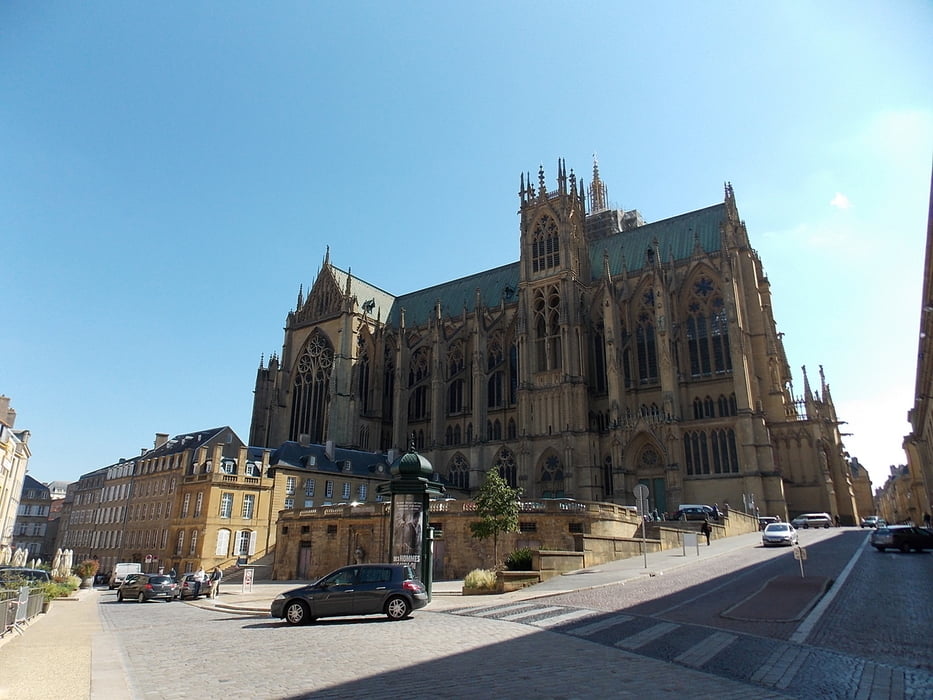
Neem je tijd om overal rond te snuisteren en vergeet zeker de cathedraal niet binnen te gaan.


Tour gallery

Tour map and elevation profile

  • Open Street Map
  • Google
Minimum height 144 m Maximum height 201 m Detailed view

More about the tour author

ikkel
Member since 2009

Send private message

Comments

gewoon schoeisel is meer dan voldoende.

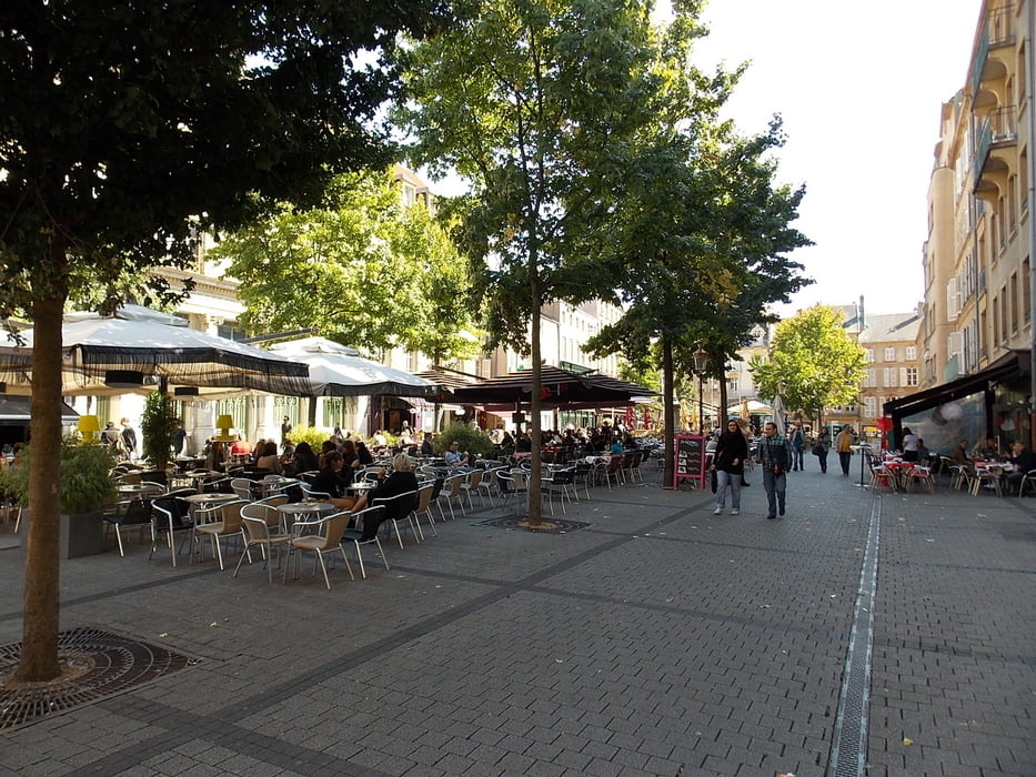
Neem zeker een terrasje mee op het place st.jacques


GPS tracks

Trackpoints
  • GPX / Garmin Map Source (gpx) download
  • TCX / Garmin Training Center® (tcx) download
  • CRS / Garmin Training Center® (crs) download
  • Google Earth (kml) download
  • G7ToWin (g7t) download
  • TTQV (trk) download
  • Overlay (ovl) download
  • Fugawi (txt) download
  • Kompass (DAV) Track (tk) download
  • Track data sheet (pdf) download
  • Original file of the author (gpx) download

More about the tour author

ikkel
Member since 2009

Send private message
Share track
Add to my favorites
Remove from my favorites
Edit tags
My score
Rate
Track: Stadswandeling Metz
Type: Hiking
Distance: 6,8 km
Evaluated on:
Duration:
Day(s)
Hour(s)
Minute(s)
Score: Landscape Fun factor Fitness Technique