Login

Forgot your login?

Cookies have to be accepted!
Your browser's cookie functionality is disabled. Please enable this functionality.

Not a member yet?

Register now
Login

Available for registred users only

Log in to use this feature.

Forgot your login?

Cookies have to be accepted!
Your browser's cookie functionality is disabled. Please enable this functionality.

Not a member yet?

Register now
Filter
Categories
Advanced filters
  • Distance (km)
  • Height
Save filters Reset filter

TrackRank

QRCode

Technical data

Distance7,0 km Height247 m Way down237 m Duration02:00 h:m Date16.09.2012
Scores Author Landscape Fun factor Fitness Technique

Statistics

257 Views Scores 19 Downloads Average
Rate
  • Track data sheet
  • Directions
  • Downloads

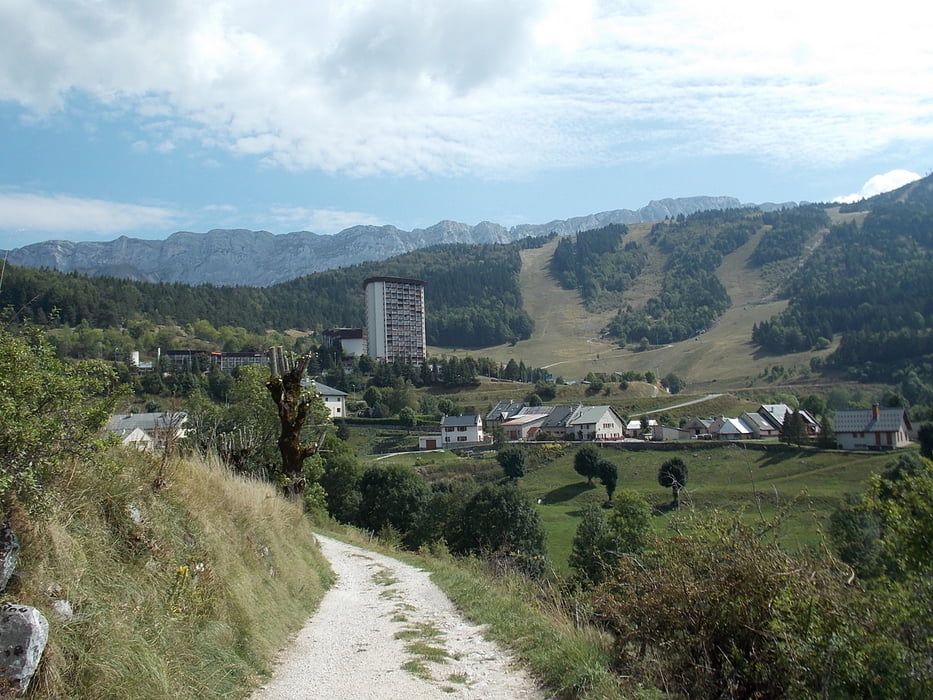
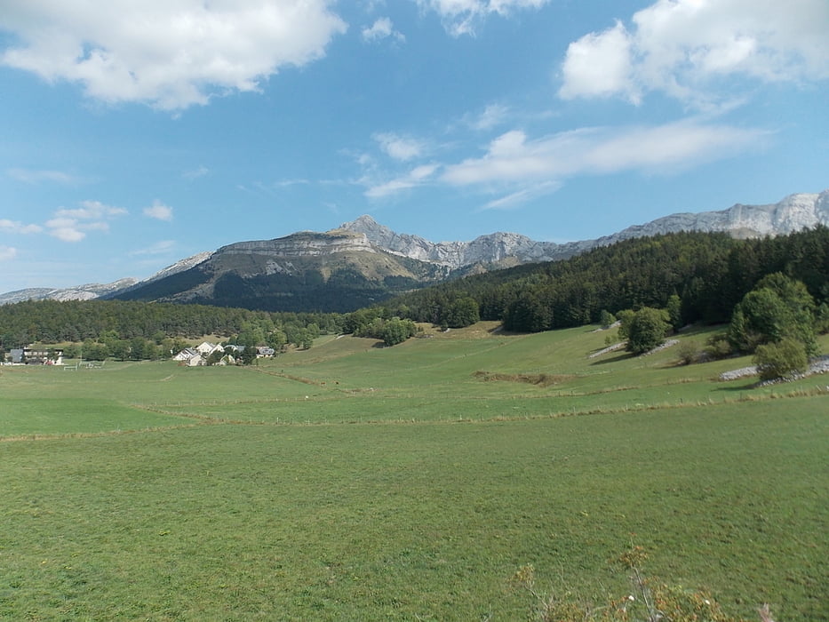
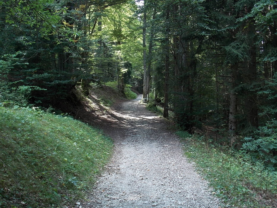
Stevig schoeisel is aan te raden want op de steile stukken kan je redelijk snel schuiven over de steentjes.

In les govelettes is er een bar waar je iets kan drinken.

In principe te doen met kinderwagens en rolstoelen maar houd rekening met (zeer) steile stukken.


Tour gallery

Tour map and elevation profile

  • Open Street Map
  • Google
Minimum height 1015 m Maximum height 1255 m Detailed view

More about the tour author

ikkel
Member since 2009

Send private message

Comments

GPS tracks

Trackpoints
  • GPX / Garmin Map Source (gpx) download
  • TCX / Garmin Training Center® (tcx) download
  • CRS / Garmin Training Center® (crs) download
  • Google Earth (kml) download
  • G7ToWin (g7t) download
  • TTQV (trk) download
  • Overlay (ovl) download
  • Fugawi (txt) download
  • Kompass (DAV) Track (tk) download
  • Track data sheet (pdf) download
  • Original file of the author (gpx) download

More about the tour author

ikkel
Member since 2009

Send private message
Share track
Add to my favorites
Remove from my favorites
Edit tags
My score
Rate
Track: Naar de Balcon du Villard
Type: Hiking
Distance: 7,0 km
Evaluated on:
Duration:
Day(s)
Hour(s)
Minute(s)
Score: Landscape Fun factor Fitness Technique