Login

Forgot your login?

Cookies have to be accepted!
Your browser's cookie functionality is disabled. Please enable this functionality.

Not a member yet?

Register now
Login

Available for registred users only

Log in to use this feature.

Forgot your login?

Cookies have to be accepted!
Your browser's cookie functionality is disabled. Please enable this functionality.

Not a member yet?

Register now
Filter
Categories
Advanced filters
  • Distance (km)
  • Height
Save filters Reset filter

TrackRank

QRCode

Technical data

Distance157,0 km Height3093 m Way down3081 m Duration04:00 h:m Date16.09.2012
Scores Author Landscape Fun factor Fitness Technique

Statistics

3728 Views Scores 322 Downloads Average
Rate
  • Track data sheet
  • Directions
  • Downloads

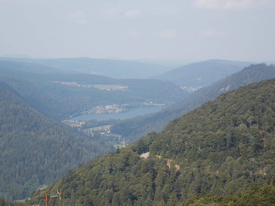
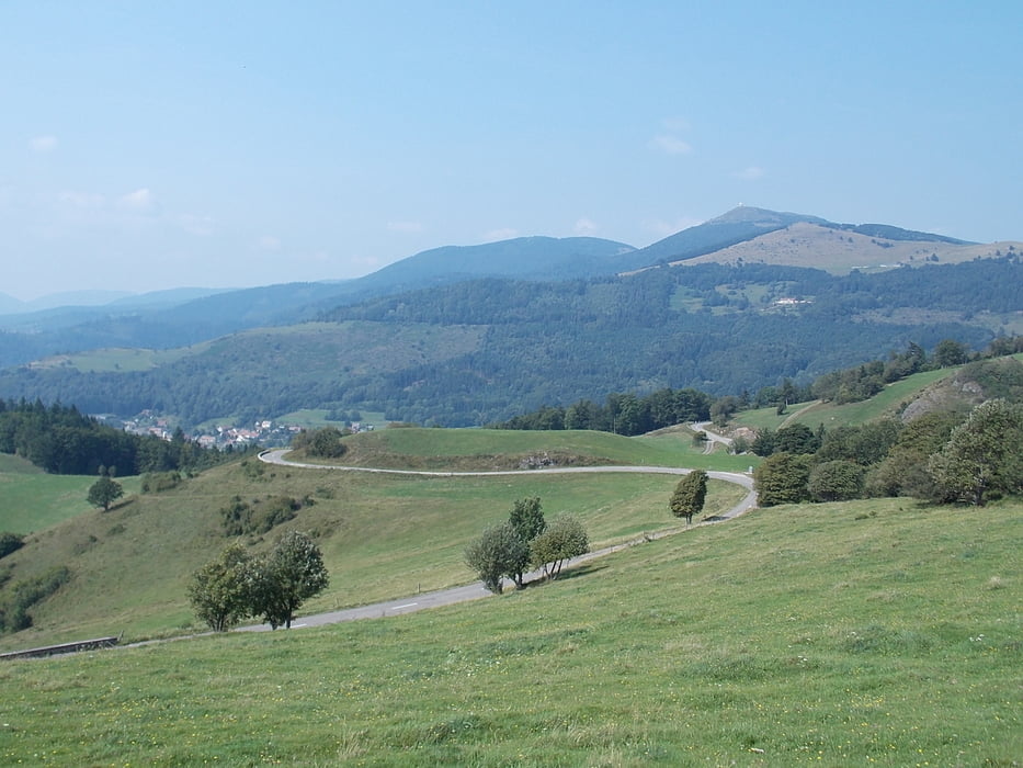
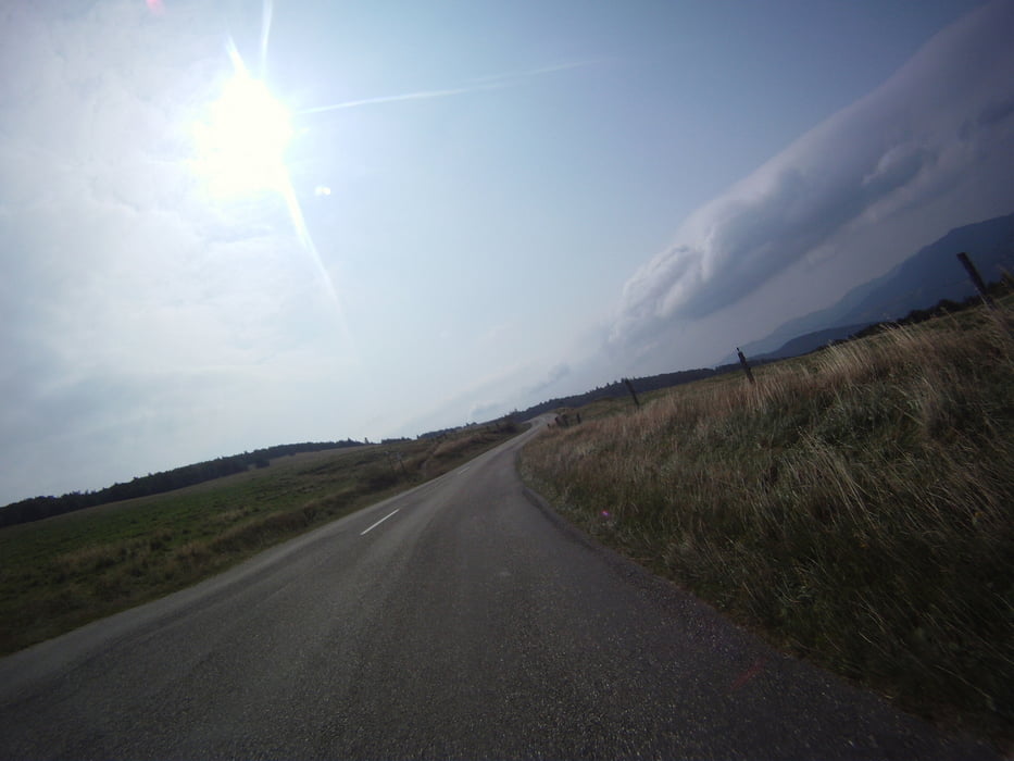
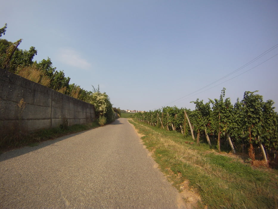
Fijne route over de col du bonhomme, route des crêtes, grand ballon, vallee noble en nog enkele minder bekende cols en valleien.


Tour gallery

Tour map and elevation profile

  • Open Street Map
  • Google
Minimum height 199 m Maximum height 1363 m Detailed view

More about the tour author

ikkel
Member since 2009

Send private message

Comments

best vertrekken met een volle tank. want op de route zelf kom je weinig tankstations tegen.


GPS tracks

Trackpoints
  • GPX / Garmin Map Source (gpx) download
  • TCX / Garmin Training Center® (tcx) download
  • CRS / Garmin Training Center® (crs) download
  • Google Earth (kml) download
  • G7ToWin (g7t) download
  • TTQV (trk) download
  • Overlay (ovl) download
  • Fugawi (txt) download
  • Kompass (DAV) Track (tk) download
  • Track data sheet (pdf) download
  • Original file of the author (gpx) download

More about the tour author

ikkel
Member since 2009

Send private message
Share track
Add to my favorites
Remove from my favorites
Edit tags
My score
Rate
Track: Routes des crêtes
Type: Motorcycles
Distance: 157,0 km
Evaluated on:
Duration:
Day(s)
Hour(s)
Minute(s)
Score: Landscape Fun factor Fitness Technique