


Endurotour mit Liftunterstützung um Naturns und Raabland
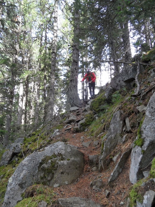
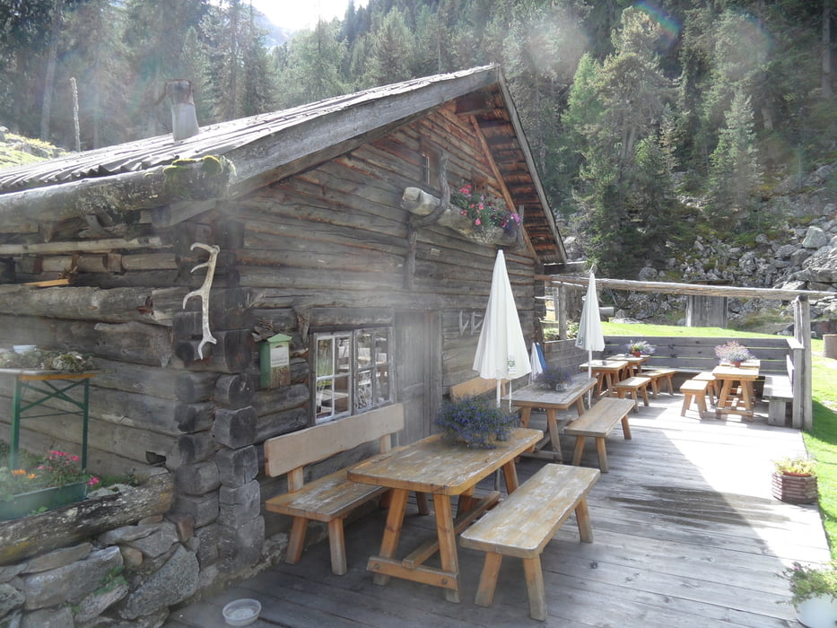
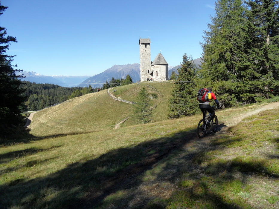
Strecke geht von der Aschbachbahn auf Güterweg über Schwarze Lacke See, Vigil Joch Kirche Richtung Naturnser Alm. 20min vor der Naturnser Alp geht es in einen S1 Bergauftrail über. Dann den Almenweg (ruppig S2 mit einigen kurzen Schiebestücken) über Zetnalm, Franschalpe = Mauslochalpe (gute Küche), Taabland Alp zur Tomberg Alp.
Abschließend ein abwechslungsreicher S2 Trail nach Tschars ins Tal.
Auf dem Etschradweg zurück oder über Unterstellseilbahn eine kleine S2 Abschlußrunde am Gegenhang (ca. 2Std) mit 200m Anstieg. Bei der Tour war am Ende ein kleiner Weinberghof mit sehr guter Vinschgauer Küche (Wegpunkt Weinberghof) - lohnt sich - waren nie enttäuscht.
Auffahrt Aschbachbahn mit Gästekarte ca. 8,50Euro, Naturns 10,50Euro.
An der Mauslochalpe führte ein schöner S2 Trail nach Naturns.
Tour gallery
Tour map and elevation profile
Minimum height 517 m
Maximum height 1944 m
More about the tour author
|
|
skyhopper |
Comments

Parken an der Aschbachbahn
GPS tracks
Trackpoints-
GPX / Garmin Map Source (gpx) download
-
TCX / Garmin Training Center® (tcx) download
-
CRS / Garmin Training Center® (crs) download
-
Google Earth (kml) download
-
G7ToWin (g7t) download
-
TTQV (trk) download
-
Overlay (ovl) download
-
Fugawi (txt) download
-
Kompass (DAV) Track (tk) download
-
Track data sheet (pdf) download
-
Original file of the author (gpx) download
More about the tour author
|
|
skyhopper |
Add to my favorites
Remove from my favorites
Edit tags
Open track
My score
Rate