


Auf der Schwäbischen Alb
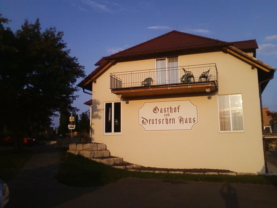
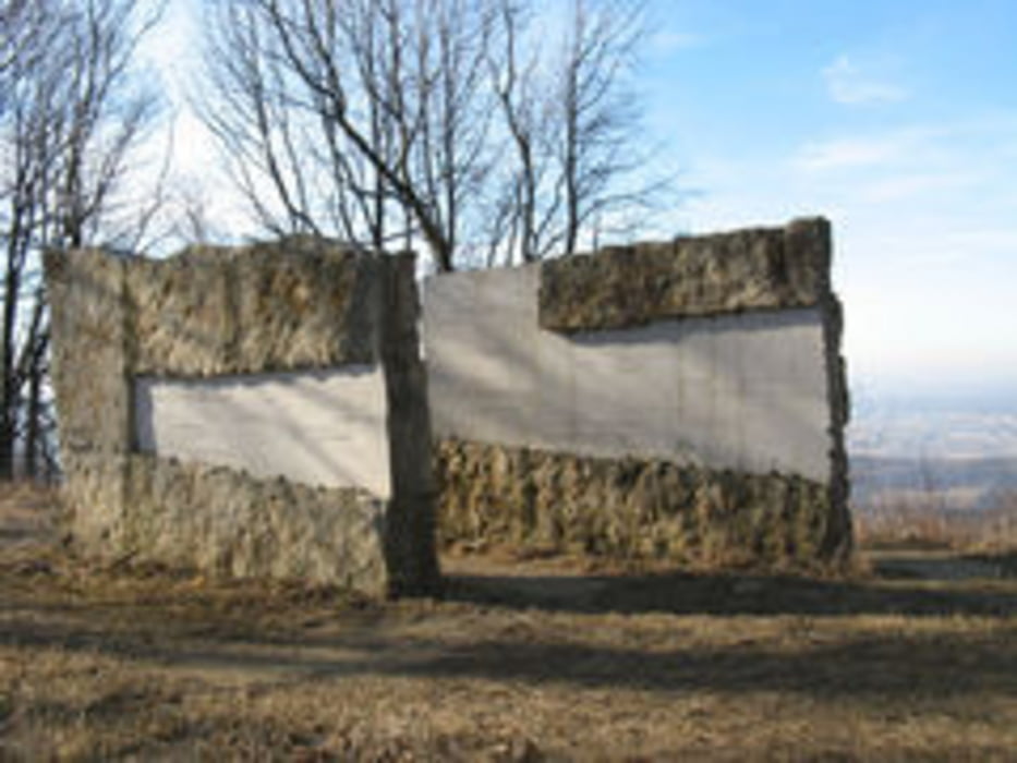
Feierabend Tour, als Start und Zielpunkt wurde das Deutsche Haus in Gruibingen gewählt von wo aus es zum Bosslerhaus ging von wo man einen fantastischen Blick über die Alb hat nach kurzer Pause ging es weiter zum Aussichtspunkt am Jahrhundertstein von wo aus man bei gutem Wetter bis nach Stuttgart sehen kann, von hieraus ging es auf schönen und steilen Trails richtung Weilheim ehe man vor Weilheim wieder in den Wald abbiegt und stetig bergauf zurück zum Ausgangspunkt kommt.
Schöne kurze und knackige Tour überwiegend auf Waldwegen und Trails gefahren.
Further information at
http://www.deutsches-haus-weilheim.de/Tour gallery

Tour map and elevation profile
Minimum height 419 m
Maximum height 799 m
More about the tour author
|
|
Sibimalko |
Comments

Über A8 Ausfahrt Weilheim zum Deutschen Haus nach Gruibingen
GPS tracks
Trackpoints-
GPX / Garmin Map Source (gpx) download
-
TCX / Garmin Training Center® (tcx) download
-
CRS / Garmin Training Center® (crs) download
-
Google Earth (kml) download
-
G7ToWin (g7t) download
-
TTQV (trk) download
-
Overlay (ovl) download
-
Fugawi (txt) download
-
Kompass (DAV) Track (tk) download
-
Track data sheet (pdf) download
-
Original file of the author (gpx) download
More about the tour author
|
|
Sibimalko |
Add to my favorites
Remove from my favorites
Edit tags
Open track
My score
Rate