


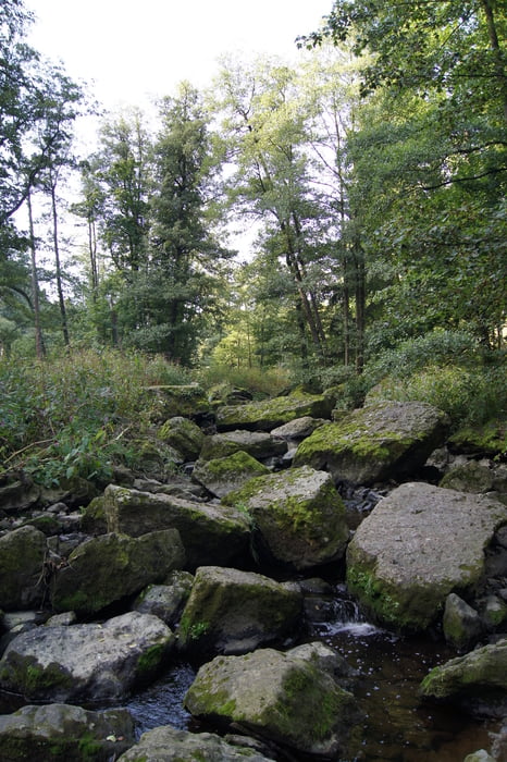
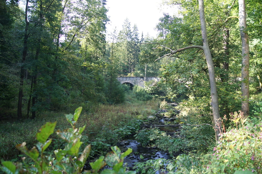
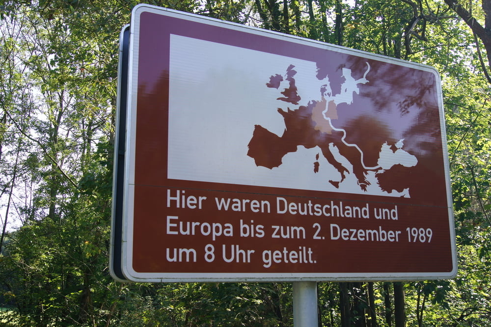
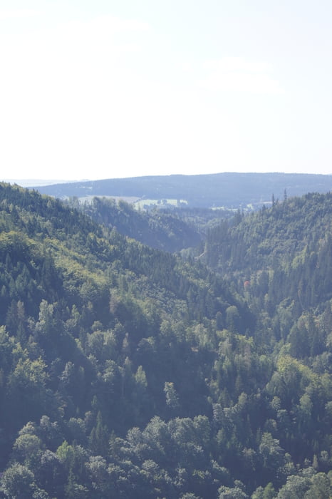
Diese Tour führt von Hölle durch das romantische Höllental zur Aussicht König David. Zuerst verläuft die Tour auf einem breiten Weg leicht absteigend. Am Wendepunkt der Tour angekommen wird der Weg in Richtung König David deutlich schmaler und steiler; hier ist Kondition gefragt. Die Anstrengungen werden belohnt durch einen schönen Blick auf das Höllental und der umliegenden Landschaft. Von König David führt der Weg schließlich wieder in Richtung Hölle.
Tour gallery
Tour map and elevation profile
Minimum height 440 m
Maximum height 612 m
More about the tour author
|
|
Huthinho |
Comments

Bis zum Stadtzentrum von Hölle fahren und dort parken.
GPS tracks
Trackpoints-
GPX / Garmin Map Source (gpx) download
-
TCX / Garmin Training Center® (tcx) download
-
CRS / Garmin Training Center® (crs) download
-
Google Earth (kml) download
-
G7ToWin (g7t) download
-
TTQV (trk) download
-
Overlay (ovl) download
-
Fugawi (txt) download
-
Kompass (DAV) Track (tk) download
-
Track data sheet (pdf) download
-
Original file of the author (gpx) download
More about the tour author
|
|
Huthinho |
Add to my favorites
Remove from my favorites
Edit tags
Open track
My score
Rate