


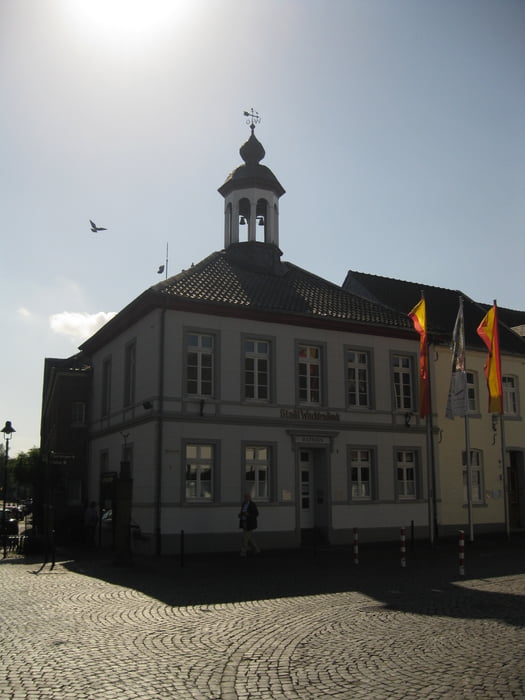
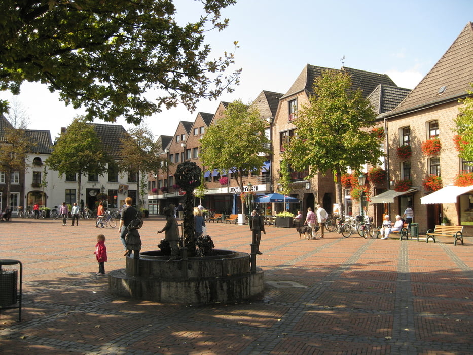
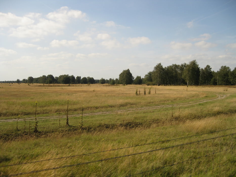
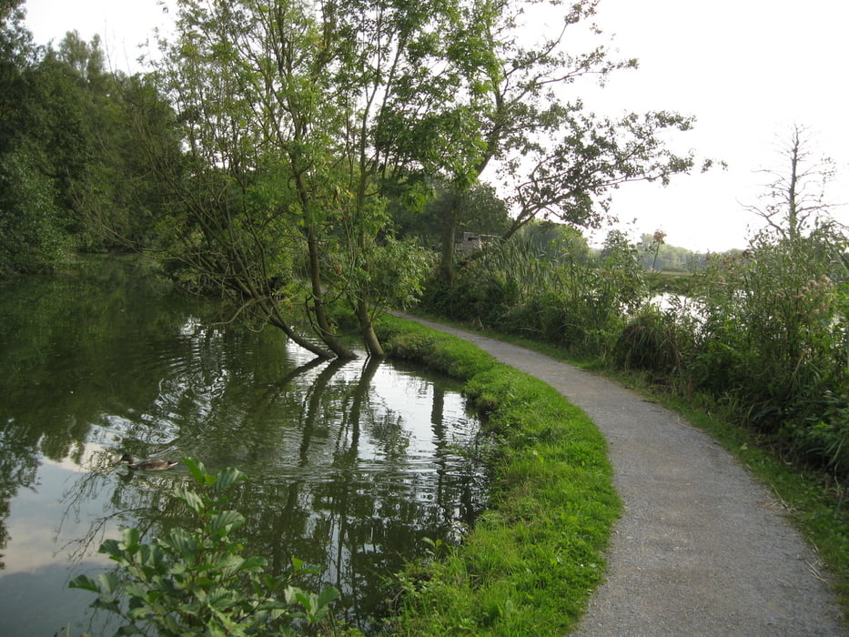
Hier eine Tagestour, welche in Mönchengladbach startet und endet. Die gesamte Strecke ist flach und verläuft zu 70% auf asphaltierten Wegen - der Rest auf gut befestigten Schotterwegen. Soweit Straßen benutzt werden, sind diese mit breiten Radwegen ausgestattet. Die Tour durchquert die klassische Niederrheinlandschaft entlang der Niers und führt zurück durch das Schwalm-Nette-Gebiet. Ein großer Anteil der Wege verläuft unmittelbar am Wasser.
Die Tour ist auch mehrtägig machbar. Als guter Zwischenhalt ist Straelen geeignet.
Further information at
http://www.schlossrheydt.de/Tour gallery
Tour map and elevation profile
Minimum height 8 m
Maximum height 83 m
More about the tour author
|
|
Schiller1963 |
Comments

Startpunkt und Zielpunkt: Schloß Rheydt Mönchengladbach.
GPS tracks
Trackpoints-
GPX / Garmin Map Source (gpx) download
-
TCX / Garmin Training Center® (tcx) download
-
CRS / Garmin Training Center® (crs) download
-
Google Earth (kml) download
-
G7ToWin (g7t) download
-
TTQV (trk) download
-
Overlay (ovl) download
-
Fugawi (txt) download
-
Kompass (DAV) Track (tk) download
-
Track data sheet (pdf) download
-
Original file of the author (gpx) download
More about the tour author
|
|
Schiller1963 |
Add to my favorites
Remove from my favorites
Edit tags
Open track
My score
Rate