Login

Forgot your login?

Cookies have to be accepted!
Your browser's cookie functionality is disabled. Please enable this functionality.

Not a member yet?

Register now
Login

Available for registred users only

Log in to use this feature.

Forgot your login?

Cookies have to be accepted!
Your browser's cookie functionality is disabled. Please enable this functionality.

Not a member yet?

Register now
Filter
Categories
Advanced filters
  • Distance (km)
  • Height
Save filters Reset filter

TrackRank

QRCode

Technical data

Distance38,3 km Height449 m Way down439 m Duration01:45 h:m Date17.09.2012
Scores Author Landscape Fun factor Fitness Technique

Statistics

268 Views Scores 29 Downloads Average
Rate
  • Track data sheet
  • Directions
  • Downloads

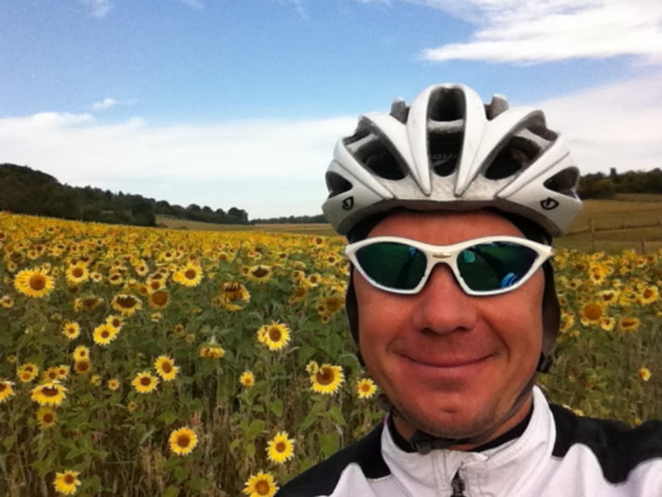
Kleine Hausrunde von Calw-Stammheim über Ostelsheim,Sindelfingen,dann zurück über Aidlingen, Venusberg, Ochsenstraße, kleiner Abstecher übern "Truppi" :-)


Achtung; kurzer Cyclocross zwischendrin (also nicht für Rennrad geeignet !)

Tour map and elevation profile

  • Open Street Map
  • Google
Minimum height 367 m Maximum height 550 m Detailed view

More about the tour author

triafreak76
Member since 2012

Send private message

Comments

GPS tracks

Trackpoints
  • GPX / Garmin Map Source (gpx) download
  • TCX / Garmin Training Center® (tcx) download
  • CRS / Garmin Training Center® (crs) download
  • Google Earth (kml) download
  • G7ToWin (g7t) download
  • TTQV (trk) download
  • Overlay (ovl) download
  • Fugawi (txt) download
  • Kompass (DAV) Track (tk) download
  • Track data sheet (pdf) download
  • Original file of the author (gpx) download

More about the tour author

triafreak76
Member since 2012

Send private message
Share track
Add to my favorites
Remove from my favorites
Edit tags
My score
Rate
Track: Cyclocross oder MTB- Hausrunde Calw-Stammheim-Sifi-Heckengäu
Type: Mountain bike
Distance: 38,3 km
Evaluated on:
Duration:
Day(s)
Hour(s)
Minute(s)
Score: Landscape Fun factor Fitness Technique