Login

Forgotten password?

Cookies have to be accepted!
Your browser's cookie functionality is disabled. Please enable this functionality.

Not a member yet?

Register now
Login

Available for registred users only

Log in to use this feature.

Forgotten password?

Cookies have to be accepted!
Your browser's cookie functionality is disabled. Please enable this functionality.

Not a member yet?

Register now
Filter
Categories
Advanced filters
  • Distance (km)
  • Height
Save filters Reset filter

TrackRank

QRCode

Technical data

Distance17,4 km Height869 m Way down837 m Duration00:00 h:m Date18.09.2012
Scores Author Landscape Fun factor Fitness Technique

Statistics

1851 Views 1 Score 71 Downloads 4.00 Average
Rate
  • Track data sheet
  • Directions
  • Downloads

Sehr schöne Bergwandertour für die ein ganzer Tag eingeplant werden sollte.

Start in Spitzing Richtung Valepp, vor der Waitzinger-Alm nach links durch den

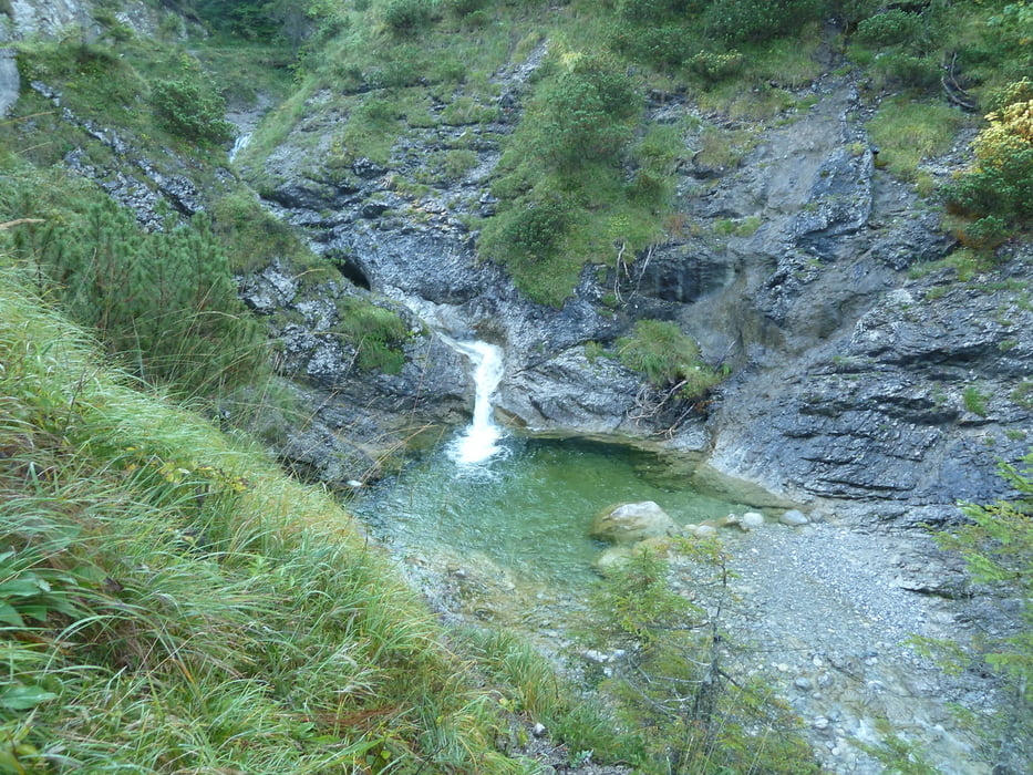
Pfanngraben zur Rotwand (im Sommer schöne Gumpen zum erfrischen). Weg

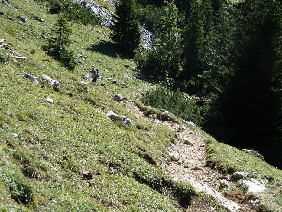
wird immer schmaler bis er zum Steig wird bis zum Rotwandhaus.

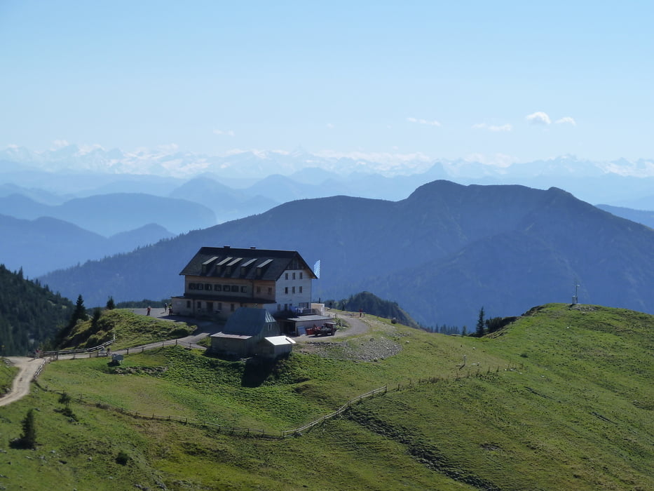
Vom Rotwandhaus Richtung Taubenstein, dann hinunter zur Oberen Maxlraineralm

(kann man gut einkehren). Nach Rast weiter hinunter über Wiese dann Forstweg um

den Schwarzenkopf herum nach Spitzing


Tour gallery

Tour map and elevation profile

  • Open Street Map
  • Google
Minimum height 948 m Maximum height 1780 m Detailed view

More about the tour author

Sepp200877
Member since 2009

Send private message

Comments

frankrechter on 19.09.2013

Tourbewertung

Sehr schöne Tour! Die paar Km Teerstrasse werden durch den herrl. Wanderweg durch den Pfanngraben entschädigt.

Von A8 kommend Wayern - Miesbach - Hausham - Schliersee - Spitzingsee


GPS tracks

Trackpoints
  • GPX / Garmin Map Source (gpx) download
  • TCX / Garmin Training Center® (tcx) download
  • CRS / Garmin Training Center® (crs) download
  • Google Earth (kml) download
  • G7ToWin (g7t) download
  • TTQV (trk) download
  • Overlay (ovl) download
  • Fugawi (txt) download
  • Kompass (DAV) Track (tk) download
  • Track data sheet (pdf) download
  • Original file of the author (gpx) download

More about the tour author

Sepp200877
Member since 2009

Send private message
Share track
Add to my favorites
Remove from my favorites
Edit tags
My score
Rate
Track: Pfanngraben-Rotwand-Taubenstein
Type: Mountain hiking
Distance: 17,4 km
Evaluated on:
Duration:
Day(s)
Hour(s)
Minute(s)
Score: Landscape Fun factor Fitness Technique