Login

Forgotten password?

Cookies have to be accepted!
Your browser's cookie functionality is disabled. Please enable this functionality.

Not a member yet?

Register now
Login

Available for registred users only

Log in to use this feature.

Forgotten password?

Cookies have to be accepted!
Your browser's cookie functionality is disabled. Please enable this functionality.

Not a member yet?

Register now
Filter
Categories
Advanced filters
  • Distance (km)
  • Height
Save filters Reset filter

TrackRank

QRCode

Technical data

Distance6,9 km Height1108 m Way down1095 m Duration03:30 h:m Date19.09.2012
Scores Author Landscape Fun factor Fitness Technique

Statistics

826 Views Scores 69 Downloads Average
Rate
  • Track data sheet
  • Directions
  • Downloads

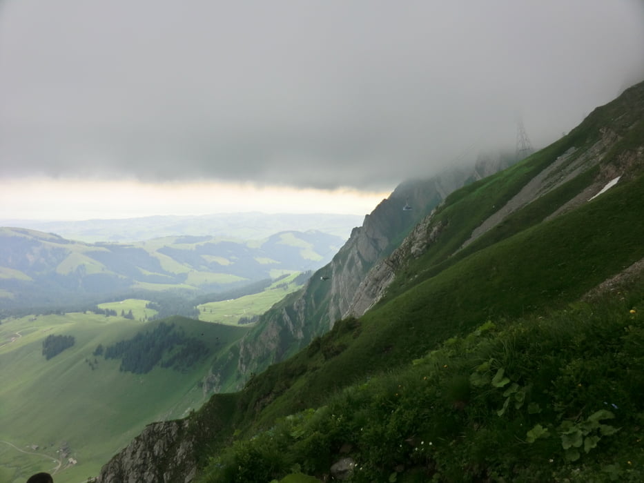
die klassische Variante ab der Talstation der Säntisbahn, Schwägalp.

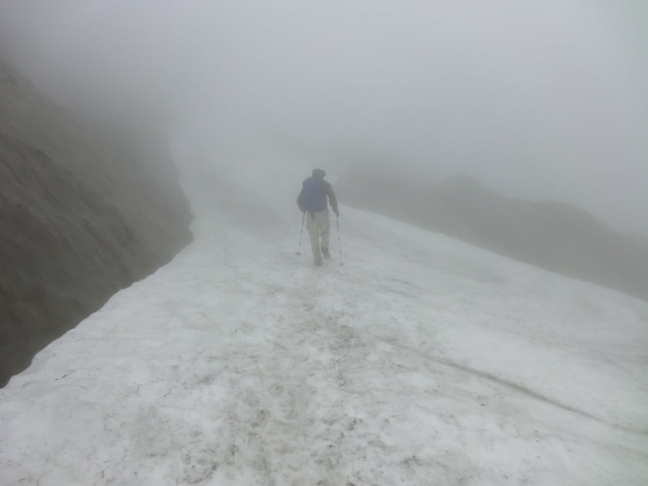
da das Wetter es nicht anders zuließ erfolgte die Abfahrt mit der Seilbahn: Juli 2012: EUR 25,60!! für die einfache Talfahrt. Wer hat´s erfunden??


Tour gallery

Tour map and elevation profile

  • Open Street Map
  • Google
Minimum height 1358 m Maximum height 2493 m Detailed view

More about the tour author

masterheizer
Member since 2011

Send private message

Comments

GPS tracks

Trackpoints
  • GPX / Garmin Map Source (gpx) download
  • TCX / Garmin Training Center® (tcx) download
  • CRS / Garmin Training Center® (crs) download
  • Google Earth (kml) download
  • G7ToWin (g7t) download
  • TTQV (trk) download
  • Overlay (ovl) download
  • Fugawi (txt) download
  • Kompass (DAV) Track (tk) download
  • Track data sheet (pdf) download
  • Original file of the author (gpx) download

More about the tour author

masterheizer
Member since 2011

Send private message
Share track
Add to my favorites
Remove from my favorites
Edit tags
My score
Rate
Track: Säntis ab Schwägalp
Type: Mountain hiking
Distance: 6,9 km
Evaluated on:
Duration:
Day(s)
Hour(s)
Minute(s)
Score: Landscape Fun factor Fitness Technique