


Parken am Climbers Buivak.
Dann ca. 45 Min. durch den Wald zum ersten Lavastrom, ab hier aufwärts durchs Geröll (ca. 1,5 Std).
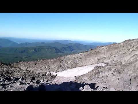
Das letzte Viertel des Aufstiegs geht es sehr steil auf den Asche-Kegel rund um die Abbruchkante - dieser Teil besteht aus sehr losem Geröll und man rutscht ständig wieder nach unten (2 Schritte vor, 1 Schritt zurück...).
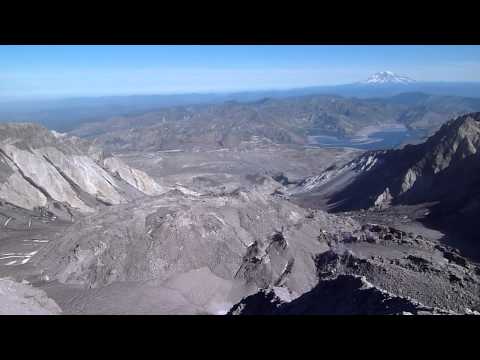
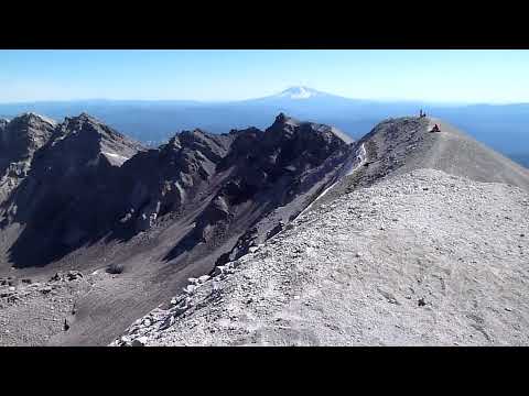
Dann nach ca. 3 - 4 Std. ist man am Rand.
Abstieg auf dem gleichen Weg - Empfehlung: Gamaschen, damit beim runterrutschen keine Steine in die Schuhe kommen.
Anmerkung: GPS Daten sind nicht vollständig, da im Wald kein GPS Signal verfügbar war. - ist aber identisch mit dem Rückweg.
Tour gallery

Tour map and elevation profile
Minimum height 1140 m
Maximum height 2505 m
More about the tour author
|
|
hoffu576 |
Comments

GPS tracks
Trackpoints-
GPX / Garmin Map Source (gpx) download
-
TCX / Garmin Training Center® (tcx) download
-
CRS / Garmin Training Center® (crs) download
-
Google Earth (kml) download
-
G7ToWin (g7t) download
-
TTQV (trk) download
-
Overlay (ovl) download
-
Fugawi (txt) download
-
Kompass (DAV) Track (tk) download
-
Track data sheet (pdf) download
-
Original file of the author (gpx) download
More about the tour author
|
|
hoffu576 |
Add to my favorites
Remove from my favorites
Edit tags
Open track
My score
Rate