


Fahrt: Mönichkirchen Liftparkplatz - Schaueregg - Friedberg - Pinggau - Tauchen - Mönichkirchen - Unterhöfen - Mönichkirchner Schwaig - Mönichkirchen
Strecke: Mix ca. 40% Asphalt/Pflasterstein, 60% Forststrassen, Wanderweg, Singletrails und Skipiste
Sehr schönes Panorama, viel Wald, gute Einkehrmöglichkeiten (Mönichkirchner Schwaig, Liftparkplatz), viel Bikespass
Kraft bis zum Schluss aufheben, Schlussanstieg hängt sich rein.
Achtung: Es gibt Streckenabschnitte, an denen das Fahrradfahren verboten ist (Forstrasse) ;-) hier schieben.
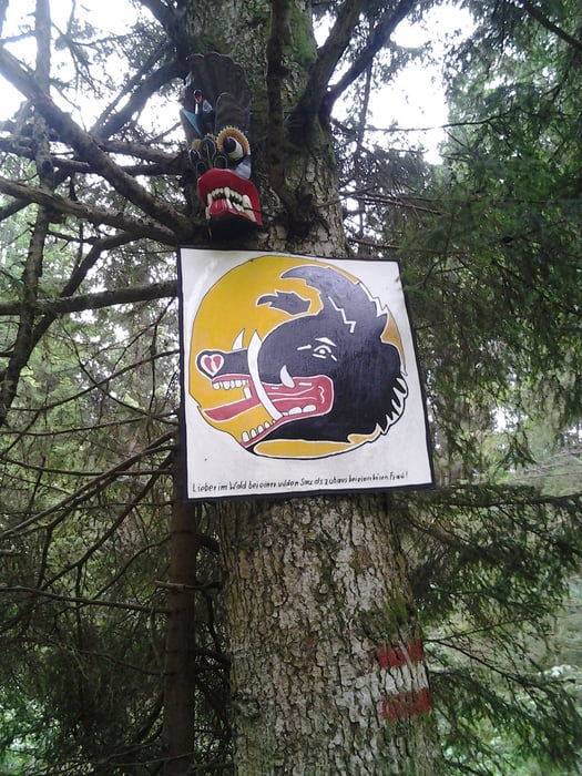
Tour gallery
Tour map and elevation profile
Minimum height 532 m
Maximum height 1218 m
More about the tour author
|
|
radlfoara |
Comments


GPS tracks
Trackpoints-
GPX / Garmin Map Source (gpx) download
-
TCX / Garmin Training Center® (tcx) download
-
CRS / Garmin Training Center® (crs) download
-
Google Earth (kml) download
-
G7ToWin (g7t) download
-
TTQV (trk) download
-
Overlay (ovl) download
-
Fugawi (txt) download
-
Kompass (DAV) Track (tk) download
-
Track data sheet (pdf) download
-
Original file of the author (gpx) download
More about the tour author
|
|
radlfoara |
Add to my favorites
Remove from my favorites
Edit tags
Open track
My score
Rate