Login

Forgot your login?

Cookies have to be accepted!
Your browser's cookie functionality is disabled. Please enable this functionality.

Not a member yet?

Register now
Login

Available for registred users only

Log in to use this feature.

Forgot your login?

Cookies have to be accepted!
Your browser's cookie functionality is disabled. Please enable this functionality.

Not a member yet?

Register now
Filter
Categories
Advanced filters
  • Distance (km)
  • Height
Save filters Reset filter

TrackRank

QRCode

Technical data

Distance2,6 km Height0 m Way down166 m Duration01:15 h:m Date23.09.2012
Scores Author Landscape Fun factor Fitness Technique

Statistics

357 Views Scores 67 Downloads Average
Rate
  • Track data sheet
  • Directions
  • Downloads

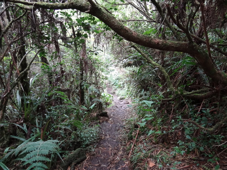
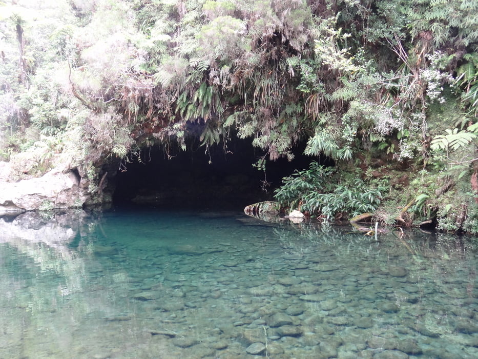
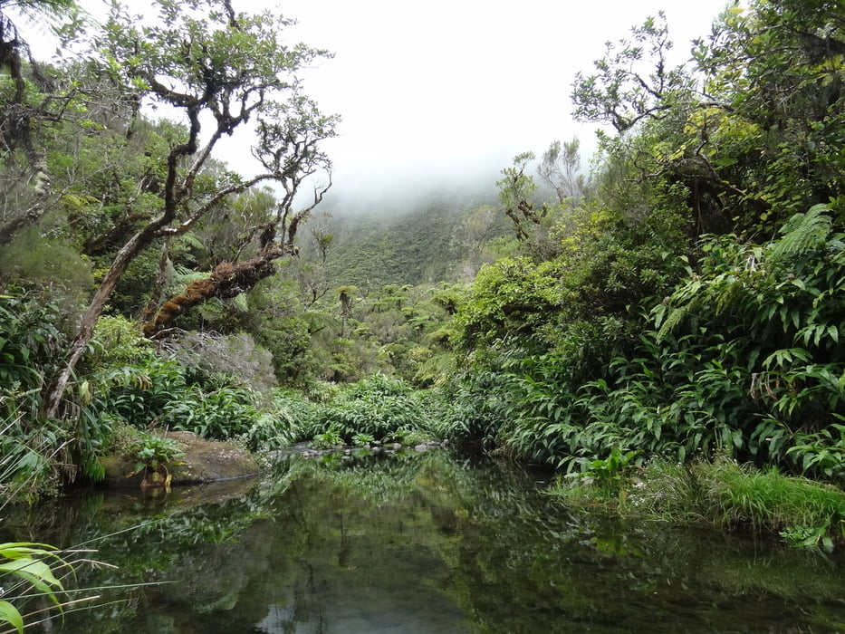
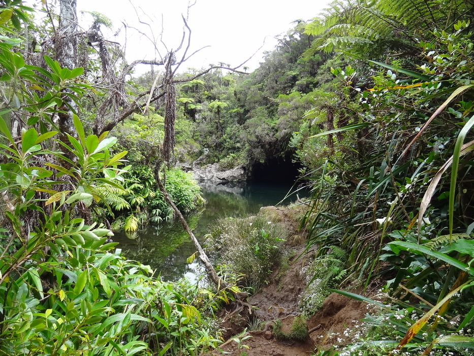
Ein kleiner Ausflug im Forêt de Bébour, den man beispielsweise auf dem Weg von Bourg-Murat nach St.-Benoît machen kann und sich unbedingt  lohnt. Am Ende des Weges befindet sich ein sehr schönes Wasserbecken und eine Grotte, die von Schwalben zum Nisten verwendet wird.


Tour gallery

Tour map and elevation profile

  • Open Street Map
  • Google
Minimum height 1196 m Maximum height 1377 m Detailed view

More about the tour author

robmoore
Member since 2011

Send private message

Comments

folgt

GPS tracks

Trackpoints
  • GPX / Garmin Map Source (gpx) download
  • TCX / Garmin Training Center® (tcx) download
  • CRS / Garmin Training Center® (crs) download
  • Google Earth (kml) download
  • G7ToWin (g7t) download
  • TTQV (trk) download
  • Overlay (ovl) download
  • Fugawi (txt) download
  • Kompass (DAV) Track (tk) download
  • Track data sheet (pdf) download
  • Original file of the author (gpx) download

More about the tour author

robmoore
Member since 2011

Send private message
Share track
Add to my favorites
Remove from my favorites
Edit tags
My score
Rate
Track: Réunion / Bassin des Hirondelles
Type: Hiking
Distance: 2,6 km
Evaluated on:
Duration:
Day(s)
Hour(s)
Minute(s)
Score: Landscape Fun factor Fitness Technique