Login

Forgot your login?

Cookies have to be accepted!
Your browser's cookie functionality is disabled. Please enable this functionality.

Not a member yet?

Register now
Login

Available for registred users only

Log in to use this feature.

Forgot your login?

Cookies have to be accepted!
Your browser's cookie functionality is disabled. Please enable this functionality.

Not a member yet?

Register now
Filter
Categories
Advanced filters
  • Distance (km)
  • Height
Save filters Reset filter

TrackRank

QRCode

Technical data

Distance44,3 km Height302 m Way down258 m Duration00:00 h:m Date23.09.2012
Scores Author Landscape Fun factor Fitness Technique

Statistics

362 Views Scores 24 Downloads Average
Rate
  • Track data sheet
  • Directions
  • Downloads

Schöne drei Seen Tour, alle wege waren Asphaltiert und gut zu Fahren.

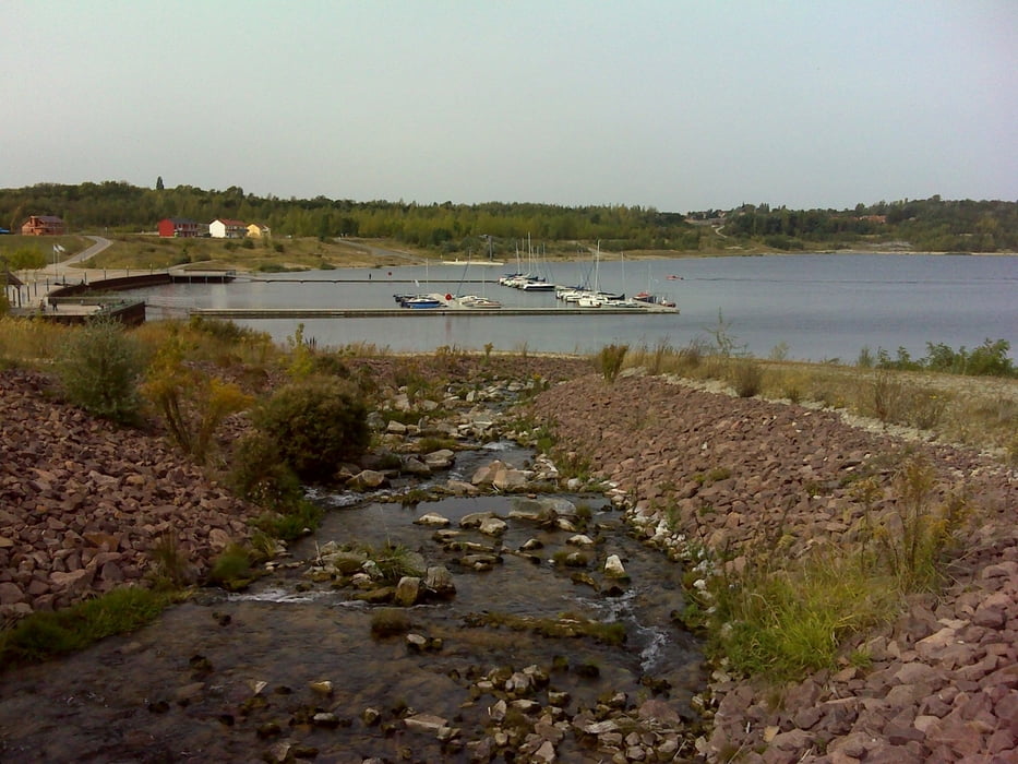
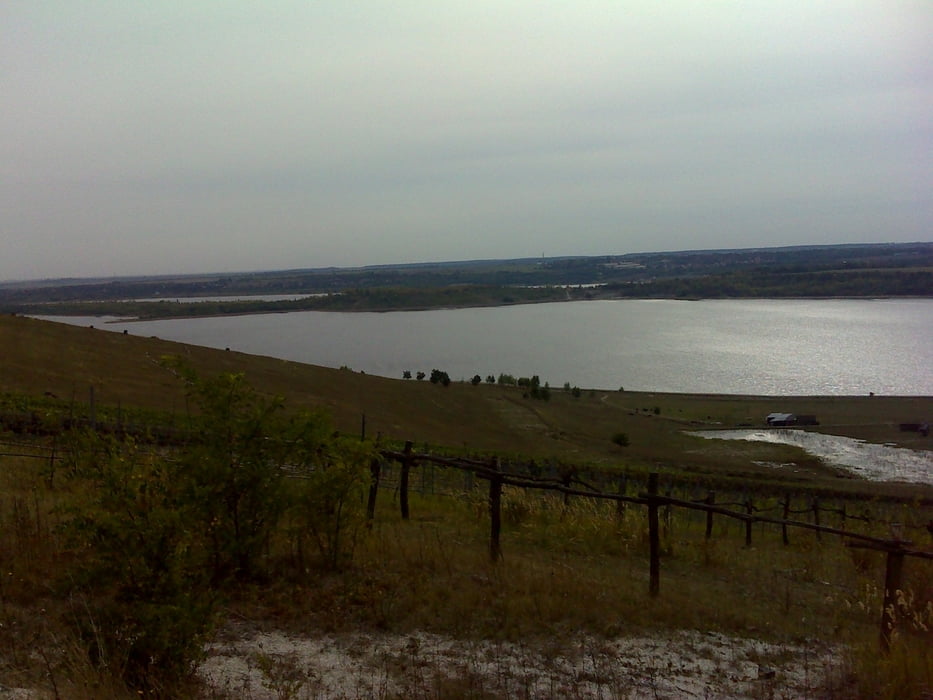
Toli angelegte Landschaft mit Weinberg und Hafen.

Tour gallery

Tour map and elevation profile

  • Open Street Map
  • Google
Minimum height 68 m Maximum height 209 m Detailed view

More about the tour author

wing1
Member since 2007

Send private message

Comments

GPS tracks

Trackpoints
  • GPX / Garmin Map Source (gpx) download
  • TCX / Garmin Training Center® (tcx) download
  • CRS / Garmin Training Center® (crs) download
  • Google Earth (kml) download
  • G7ToWin (g7t) download
  • TTQV (trk) download
  • Overlay (ovl) download
  • Fugawi (txt) download
  • Kompass (DAV) Track (tk) download
  • Track data sheet (pdf) download
  • Original file of the author (gpx) download

More about the tour author

wing1
Member since 2007

Send private message
Share track
Add to my favorites
Remove from my favorites
Edit tags
My score
Rate
Track: Geiseltalsee Runstedtersee Großkaynaersee
Type: Mountain bike
Distance: 44,3 km
Evaluated on:
Duration:
Day(s)
Hour(s)
Minute(s)
Score: Landscape Fun factor Fitness Technique