


Schwere Mtb Tour mit Schiebepassagen!
Die Tour führt über die alte Ponalestraße, welche nur für Biker und Fußgänger geöffnet ist nach Pregasina. Von dort geht es über den Passo Rochetta zum Passo Nota. Auf diesem Abschnitt sind die Fahrtechnisch schwierigsten Abschnitte und auch Schiebepassagen. Dann vom Passo Nota über den Tremalzo zum Rifugio Garda und wieder auf dem gleichem Weg zurück. Anschließend die Abfahrt über befestigte Straßen nach Vesio und von dort nach Limone.
Von Limone gelangt man am besten mit der Fähre wieder nach Torbole zurück. Die Tour ist von Limone aus einfacher zu fahren es bleibt jedoch auch das schwierige Stück vom Passo Nota nach Pregasina. Die Daten sind nur Nota-Runde bis Limone 36 Kilometer / 1400 Hm, und Tremalzo hin und zurück plus 19 Kilometer / 800 Hm also Gesamt 55 Kilometer / 2200 Hm
Das angezeigte Höhenprofil stimmt nicht, da die Strecke aus 2 Tracks besteht und daher das Programm eine Linie von Limone zum Tremalzo zieht, welche aber auf dem GPS Gerät nicht erscheint!
Further information at
http://de.wikipedia.org/wiki/TremalzoTour gallery


Tour map and elevation profile
Minimum height 91 m
Maximum height 1882 m
More about the tour author
|
|
blautalbiker |
Comments

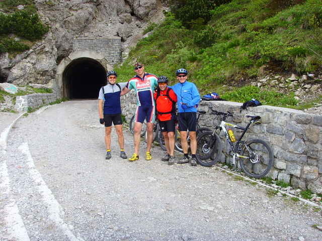
Die Tour beginnt am Ortsausgang Riva in Richtung Limone wo rechts die alte Ponalestraße in Richtung Pregasina beginnt.
Es verkehren zwischen Malcesine-Limone-Riva und Torbole Schiffe und Fähren die auch Bikes transportieren d.h. es sind verschiedene Startmöglichkeiten vorhanden. Man kann z. Bsp. von Malcesine aus losfahren (plus 24 Kilometer)und dann von Limone aus mit der Fähre nach Malcesine zurück.
Es verkehren zwischen Malcesine-Limone-Riva und Torbole Schiffe und Fähren die auch Bikes transportieren d.h. es sind verschiedene Startmöglichkeiten vorhanden. Man kann z. Bsp. von Malcesine aus losfahren (plus 24 Kilometer)und dann von Limone aus mit der Fähre nach Malcesine zurück.
GPS tracks
Trackpoints-
GPX / Garmin Map Source (gpx) download
-
TCX / Garmin Training Center® (tcx) download
-
CRS / Garmin Training Center® (crs) download
-
Google Earth (kml) download
-
G7ToWin (g7t) download
-
TTQV (trk) download
-
Overlay (ovl) download
-
Fugawi (txt) download
-
Kompass (DAV) Track (tk) download
-
Track data sheet (pdf) download
-
Original file of the author (gpx) download
More about the tour author
|
|
blautalbiker |
Add to my favorites
Remove from my favorites
Edit tags
Open track
My score
Rate