Login

Forgot your login?

Cookies have to be accepted!
Your browser's cookie functionality is disabled. Please enable this functionality.

Not a member yet?

Register now
Login

Available for registred users only

Log in to use this feature.

Forgot your login?

Cookies have to be accepted!
Your browser's cookie functionality is disabled. Please enable this functionality.

Not a member yet?

Register now
Filter
Categories
Advanced filters
  • Distance (km)
  • Height
Save filters Reset filter

TrackRank

QRCode

Technical data

Distance8,8 km Height124 m Way down124 m Duration00:00 h:m Date25.09.2012
Scores Author Landscape Fun factor Fitness Technique

Statistics

345 Views Scores 58 Downloads Average
Rate
  • Track data sheet
  • Directions
  • Downloads

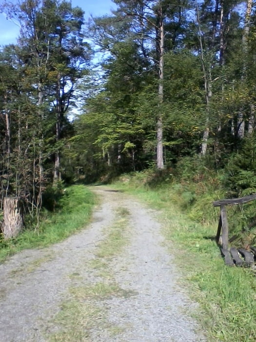
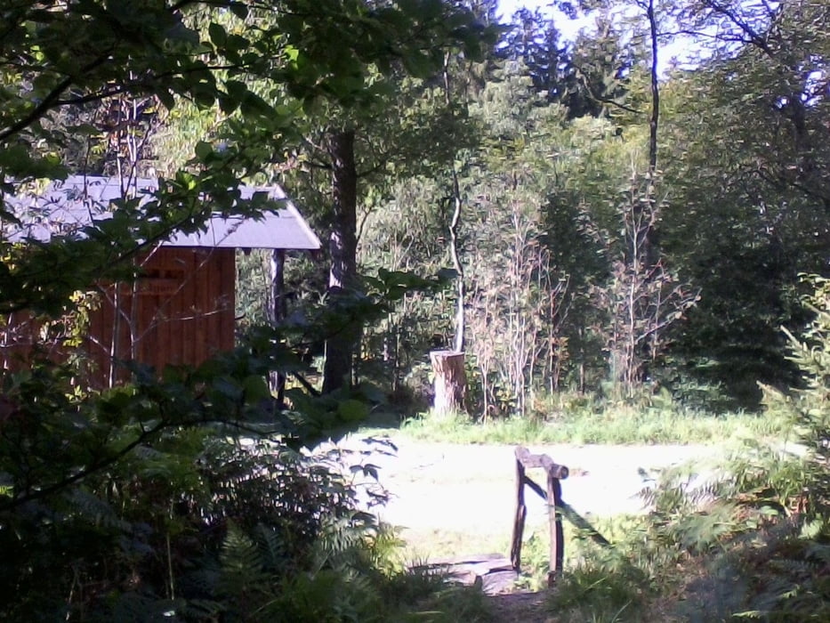
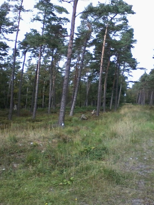
Zuerst geht es auf schmalen Pfaden entlang des Schleebaches, um dann im Bogen entlang der Moorroute und des Wanderweges A3 zum Ausgangspunkt zurückzukehren.


Tour gallery

Tour map and elevation profile

  • Open Street Map
  • Google
Minimum height 428 m Maximum height 535 m Detailed view

More about the tour author

Radegundis
Member since 2009

Send private message

Comments

Auf der B258 von Aachen nach Roetgen. Kurz vor dem Ortsausgang nach links führt die Grünepleistraße zu einem Parkplatz am Schleebach.


GPS tracks

Trackpoints
  • GPX / Garmin Map Source (gpx) download
  • TCX / Garmin Training Center® (tcx) download
  • CRS / Garmin Training Center® (crs) download
  • Google Earth (kml) download
  • G7ToWin (g7t) download
  • TTQV (trk) download
  • Overlay (ovl) download
  • Fugawi (txt) download
  • Kompass (DAV) Track (tk) download
  • Track data sheet (pdf) download
  • Original file of the author (gpx) download

More about the tour author

Radegundis
Member since 2009

Send private message
Share track
Add to my favorites
Remove from my favorites
Edit tags
My score
Rate
Track: Entlang des Schleebachs
Type: Hiking
Distance: 8,8 km
Evaluated on:
Duration:
Day(s)
Hour(s)
Minute(s)
Score: Landscape Fun factor Fitness Technique