


Dies ist Tag 1 von 5 unserer NKT-Tour 2012 in Meran. Es geht über den Meraner Höhenweg.
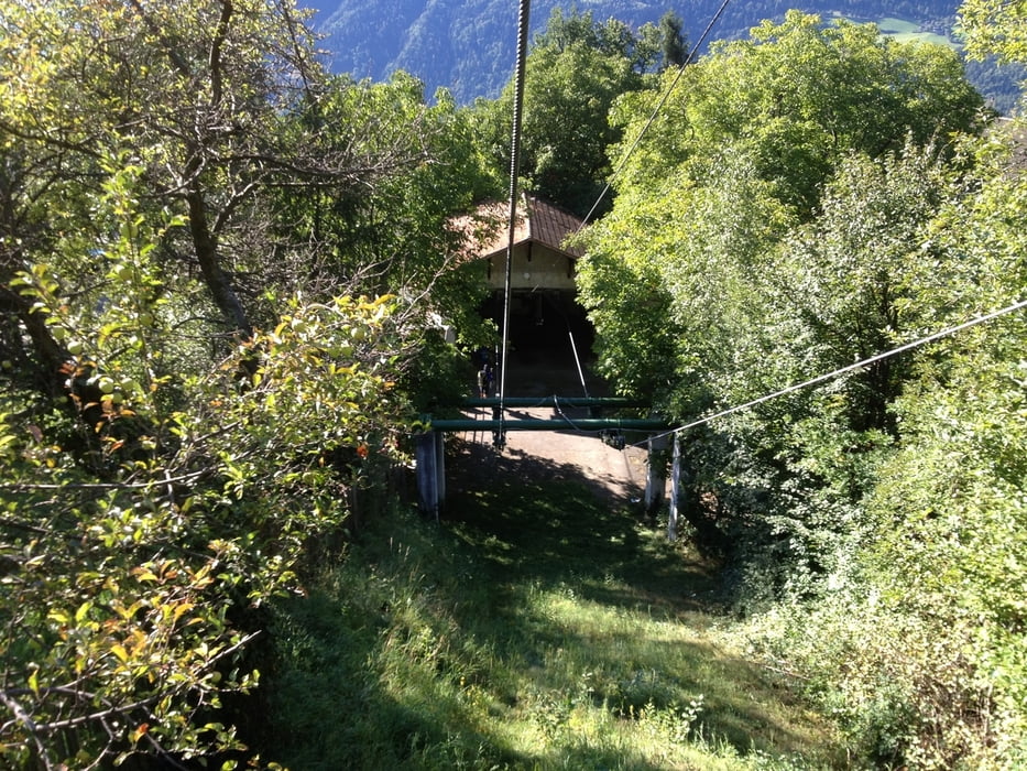
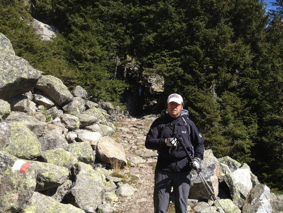
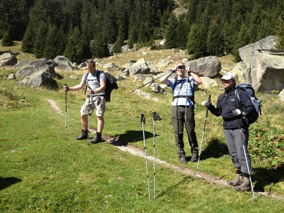
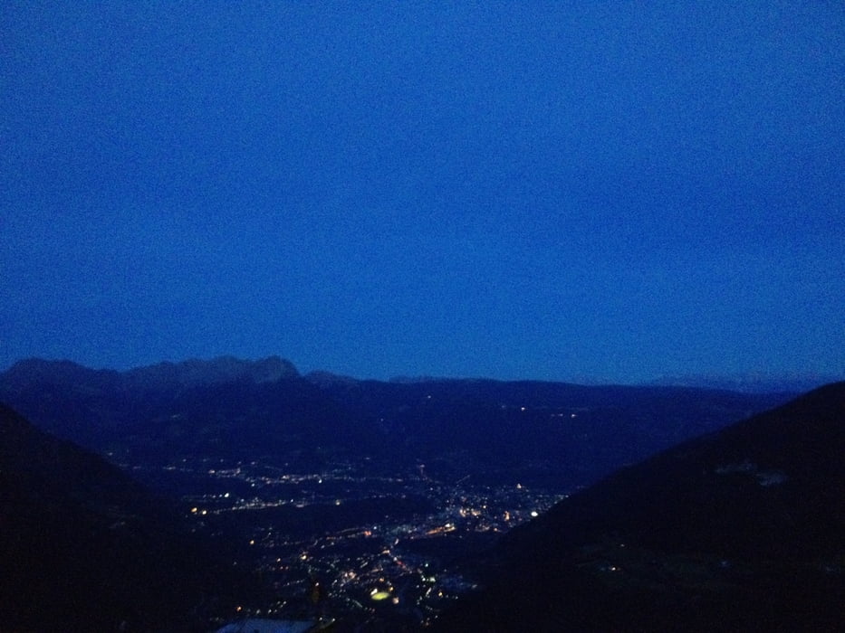
Nach der nächtlichen Anfahrt von Köln nach Meran (7,5h für 900km) haben wir in Vellau geparkt und sind nach einem Frühstücksbier mir dem Korblift zur Leiteralm hochgefahren. Unsere Tour startete bei 1500m und ging im Uhrzeigersinn nach Gigglberg. Dort wurde übernachtet. Zimmer waren gut und mit Dusche. Alles OK. Die Tour selber war in Ordnung. Es ging nur durch Wald, man hatte aber trotzdem ab und zu einen guten Blick nach Meran hinunter. Wetter war wirklich super.
Bitte auch die Folgetage anschauen. Die waren schon spannender.
Further information at
http://hoehenweg.meran.info/de/meraner-hoehenweg.htmlTour gallery
Tour map and elevation profile
Minimum height 934 m
Maximum height 1868 m
More about the tour author
|
|
Lippo |
Comments

GPS tracks
Trackpoints-
GPX / Garmin Map Source (gpx) download
-
TCX / Garmin Training Center® (tcx) download
-
CRS / Garmin Training Center® (crs) download
-
Google Earth (kml) download
-
G7ToWin (g7t) download
-
TTQV (trk) download
-
Overlay (ovl) download
-
Fugawi (txt) download
-
Kompass (DAV) Track (tk) download
-
Track data sheet (pdf) download
-
Original file of the author (gpx) download
More about the tour author
|
|
Lippo |
Add to my favorites
Remove from my favorites
Edit tags
Open track
My score
Rate