Login

Forgotten password?

Cookies have to be accepted!
Your browser's cookie functionality is disabled. Please enable this functionality.

Not a member yet?

Register now
Login

Available for registred users only

Log in to use this feature.

Forgotten password?

Cookies have to be accepted!
Your browser's cookie functionality is disabled. Please enable this functionality.

Not a member yet?

Register now
Filter
Categories
Advanced filters
  • Distance (km)
  • Height
Save filters Reset filter

TrackRank

QRCode

Technical data

Distance20,0 km Height359 m Way down359 m Duration01:40 h:m Date29.09.2012
Scores Author User Landscape Fun factor Fitness Technique

Statistics

1070 Views 2 Scores 120 Downloads 2.00 Average
Rate
  • Track data sheet
  • Directions
  • Downloads

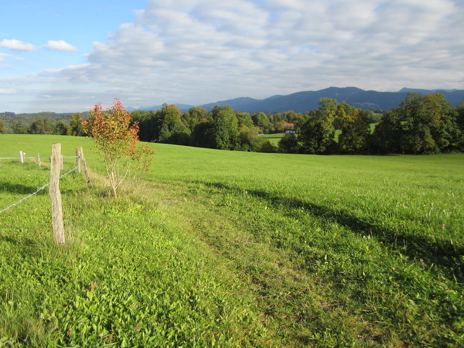
Von Bad Heilbrunn über den Buchberg nach Bad Tölz an den Stausee und teils über Trails zurück.

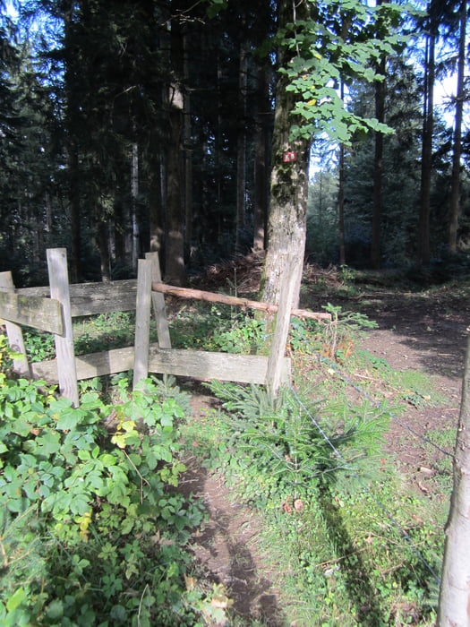
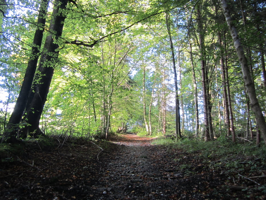
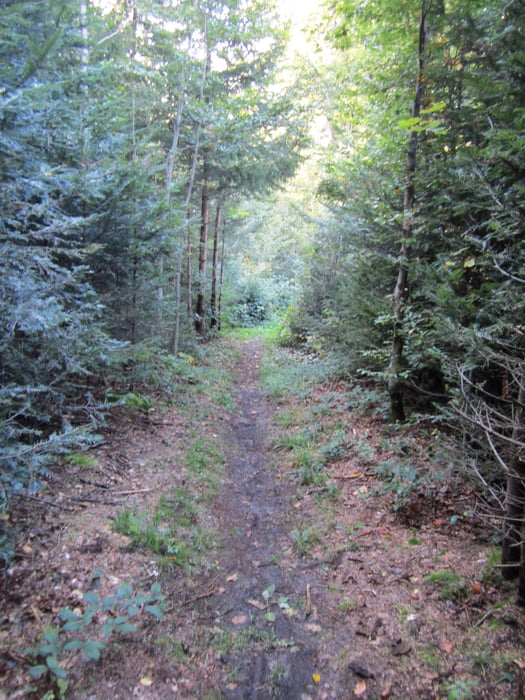
Eine Mischung aus Teerstraße, Kiesstraßen und Wiesentrails. Bei einem Abstiieg sind Holzstufen angelegt. Hier muß das Rad auch  mal getragen werden.

Bitte auf Wanderer Rücksicht nehmen.

Tour gallery

Tour map and elevation profile

  • Open Street Map
  • Google
Minimum height 641 m Maximum height 827 m Detailed view

More about the tour author

merida3000
Member since 2012

Send private message

Comments

Die  Tour beginnnt im Osten von Bad Heilbrunn. Zum Startpunkt kann man auch von der Ortsmitte oder dem Gewerbepark durch den Wald fahren.

GPS tracks

Trackpoints
  • GPX / Garmin Map Source (gpx) download
  • TCX / Garmin Training Center® (tcx) download
  • CRS / Garmin Training Center® (crs) download
  • Google Earth (kml) download
  • G7ToWin (g7t) download
  • TTQV (trk) download
  • Overlay (ovl) download
  • Fugawi (txt) download
  • Kompass (DAV) Track (tk) download
  • Track data sheet (pdf) download
  • Original file of the author (gpx) download

More about the tour author

merida3000
Member since 2012

Send private message
Share track
Add to my favorites
Remove from my favorites
Edit tags
My score
Rate
Track: Bad Heilbrunn - Bad Tölz mit Trails
Type: Mountain bike
Distance: 20,0 km
Evaluated on:
Duration:
Day(s)
Hour(s)
Minute(s)
Score: Landscape Fun factor Fitness Technique