


Tag 2:
Bei gutem Wetter super Aussicht auf die Verwallgruppe am Morgen.
Fast flowiger Downhill, trotzdem noch sehr technisch.
St. Anton (1.304 m)
Weiterfahrt zur Konstanzer Hütte (1.688 m)
Heilbronner Hütte (2.320 m)
Ischgl (1.377 m)
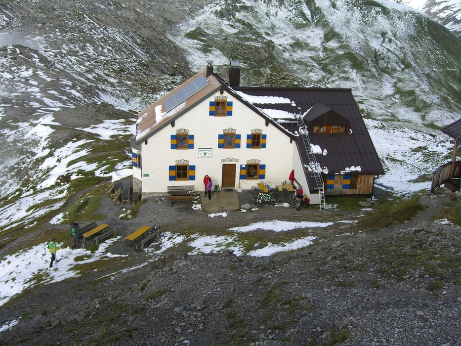
Heidelberger Hütte (2.264 m)
3 Gänge Menü bei Buchung der Halbpension! Wir hatten Backerbsensuppe, Naturschnitzel mit Reis und Eis zum Abschluss.
Im Keller der Hütte: „Karbon statt Kondition“ – Räder absperren ist nicht nötig, es sei denn man gehört zur Gruppe "Karbon".
Tour gallery


Tour map and elevation profile
Minimum height 1302 m
Maximum height 2272 m
More about the tour author

|
MaximumPower |
Comments

GPS tracks
Trackpoints-
GPX / Garmin Map Source (gpx) download
-
TCX / Garmin Training Center® (tcx) download
-
CRS / Garmin Training Center® (crs) download
-
Google Earth (kml) download
-
G7ToWin (g7t) download
-
TTQV (trk) download
-
Overlay (ovl) download
-
Fugawi (txt) download
-
Kompass (DAV) Track (tk) download
-
Track data sheet (pdf) download
-
Original file of the author (gpx) download
More about the tour author
|
|
MaximumPower |
Add to my favorites
Remove from my favorites
Edit tags
Open track
My score
Rate