Login

Forgot your login?

Cookies have to be accepted!
Your browser's cookie functionality is disabled. Please enable this functionality.

Not a member yet?

Register now
Login

Available for registred users only

Log in to use this feature.

Forgot your login?

Cookies have to be accepted!
Your browser's cookie functionality is disabled. Please enable this functionality.

Not a member yet?

Register now
Filter
Categories
Advanced filters
  • Distance (km)
  • Height
Save filters Reset filter

TrackRank

QRCode

Technical data

Distance45,5 km Height2151 m Way down665 m Duration09:00 h:m Date29.09.2012
Scores Author Landscape Fun factor Fitness Technique

Statistics

673 Views Scores 75 Downloads Average
Rate
  • Track data sheet
  • Directions
  • Downloads

Tag 1:

Start in Oberstdorf (813 m) am Bahnhof.

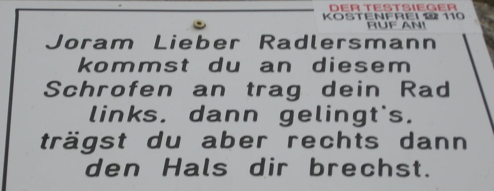
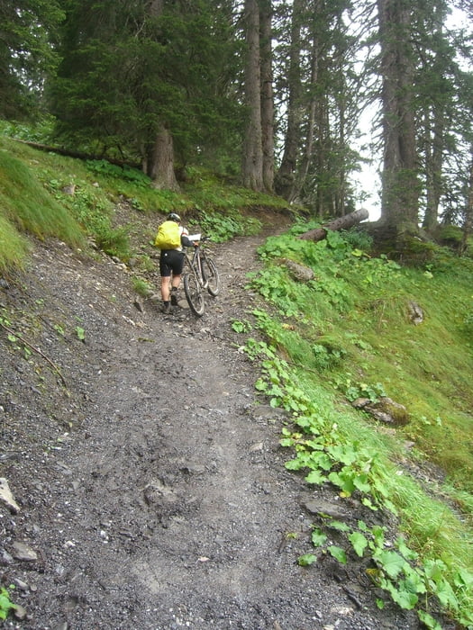
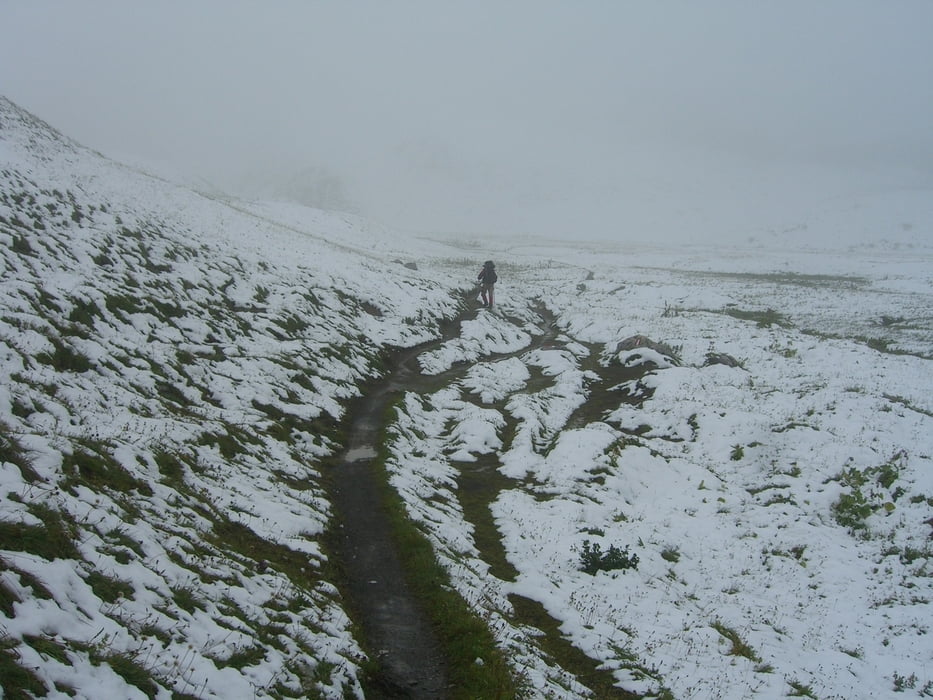
Schrofenpass (1.688 m)
Mittagessen in Steeg (1.122 m)
Auffahrt zur Leutkircher Hütte bis 1.500 m auf Teer/Schotter durchs Almajurtal. Anfangs heftige Schiebepassagen (sausteil), dann weiterhin schieben/tragen.

Leutkircher Hütte (2.251 m)

Tour gallery

Tour map and elevation profile

  • Open Street Map
  • Google
Minimum height 774 m Maximum height 2263 m Detailed view

More about the tour author

MaximumPower
Member since 2011

Send private message

Comments

Daniel82 on 20.10.2013

Schöne Tour

War das bei dir auch die erste Etappe vom Alpencross. Der Schrofenpass ist ein schönes Highlight gleich zu Beginn der Tour. Hier ein Paar <a href="http://www.bilder.transalp-veranstalter.de/main.php?g2_itemId=111">Bilder</a> von meiner letzten Tour.

Start in Oberstdorf am Bahnhof:

http://goo.gl/maps/yI5BL

GPS tracks

Trackpoints
  • GPX / Garmin Map Source (gpx) download
  • TCX / Garmin Training Center® (tcx) download
  • CRS / Garmin Training Center® (crs) download
  • Google Earth (kml) download
  • G7ToWin (g7t) download
  • TTQV (trk) download
  • Overlay (ovl) download
  • Fugawi (txt) download
  • Kompass (DAV) Track (tk) download
  • Track data sheet (pdf) download
  • Original file of the author (gpx) download

More about the tour author

MaximumPower
Member since 2011

Send private message
Share track
Add to my favorites
Remove from my favorites
Edit tags
My score
Rate
Track: Mamaleich Alpencross 2012 Tag 1
Type: Mountain bike
Distance: 45,5 km
Evaluated on:
Duration:
Day(s)
Hour(s)
Minute(s)
Score: Landscape Fun factor Fitness Technique