Login

Forgot your login?

Cookies have to be accepted!
Your browser's cookie functionality is disabled. Please enable this functionality.

Not a member yet?

Register now
Login

Available for registred users only

Log in to use this feature.

Forgot your login?

Cookies have to be accepted!
Your browser's cookie functionality is disabled. Please enable this functionality.

Not a member yet?

Register now
Filter
Categories
Advanced filters
  • Distance (km)
  • Height
Save filters Reset filter

TrackRank

QRCode

Technical data

Distance63,2 km Height1760 m Way down1732 m Duration03:20 h:m Date29.09.2012
Scores Author Landscape Fun factor Fitness Technique

Statistics

200 Views Scores 33 Downloads Average
Rate
  • Track data sheet
  • Directions
  • Downloads

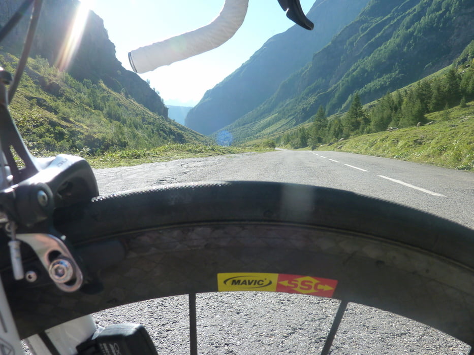
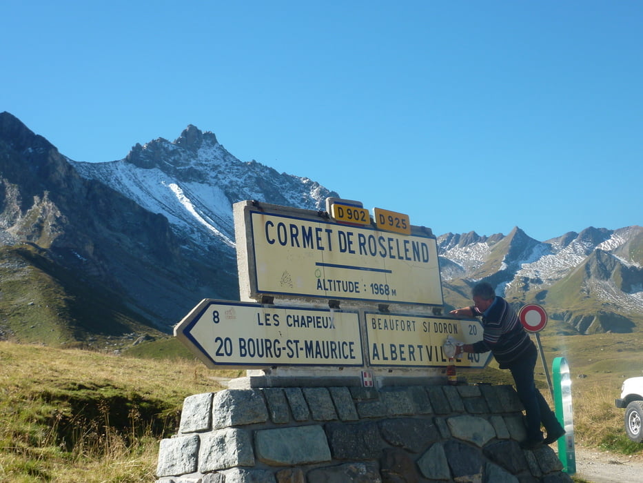
Von Bourg St. Maurice im Kreisverkehr im Ort auf einer kleinen Passstraße auf den Cormet de Roselend. 

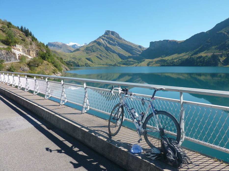
Am Pass kurze Abfahrt zur Baragge de Roselend und wieder zum Ausgangspunkt zurück.

Tour gallery

Tour map and elevation profile

  • Open Street Map
  • Google
Minimum height 826 m Maximum height 1968 m Detailed view

More about the tour author

markus-w
Member since 2010

Send private message

Comments

Bourg St. Maurice 

GPS tracks

Trackpoints
  • GPX / Garmin Map Source (gpx) download
  • TCX / Garmin Training Center® (tcx) download
  • CRS / Garmin Training Center® (crs) download
  • Google Earth (kml) download
  • G7ToWin (g7t) download
  • TTQV (trk) download
  • Overlay (ovl) download
  • Fugawi (txt) download
  • Kompass (DAV) Track (tk) download
  • Track data sheet (pdf) download
  • Original file of the author (gpx) download

More about the tour author

markus-w
Member since 2010

Send private message
Share track
Add to my favorites
Remove from my favorites
Edit tags
My score
Rate
Track: Cormet de Roselend
Type: Road biking
Distance: 63,2 km
Evaluated on:
Duration:
Day(s)
Hour(s)
Minute(s)
Score: Landscape Fun factor Fitness Technique