


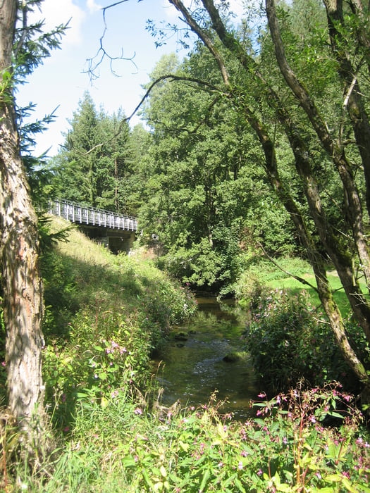
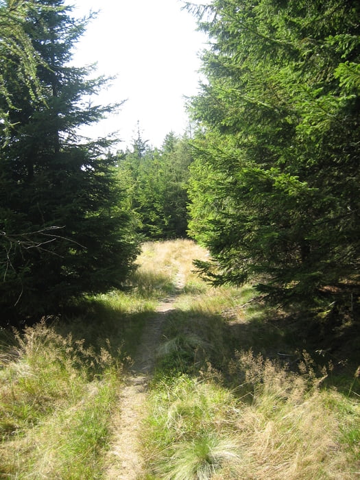
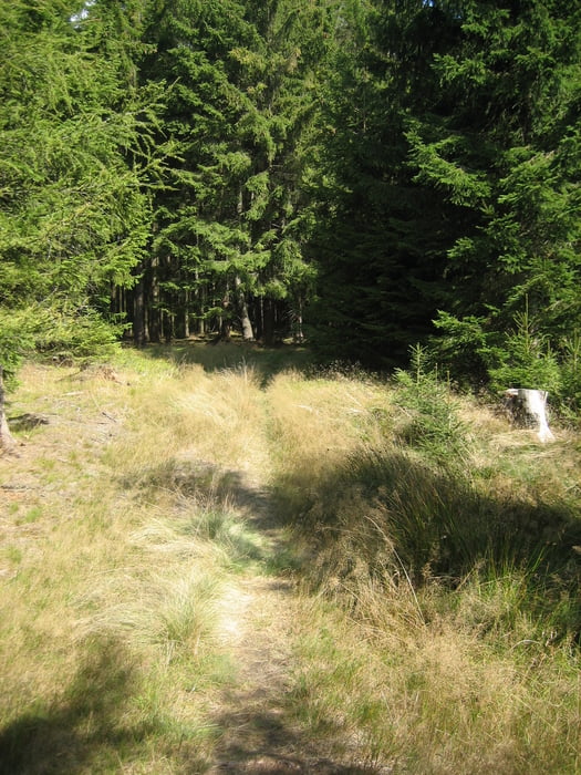
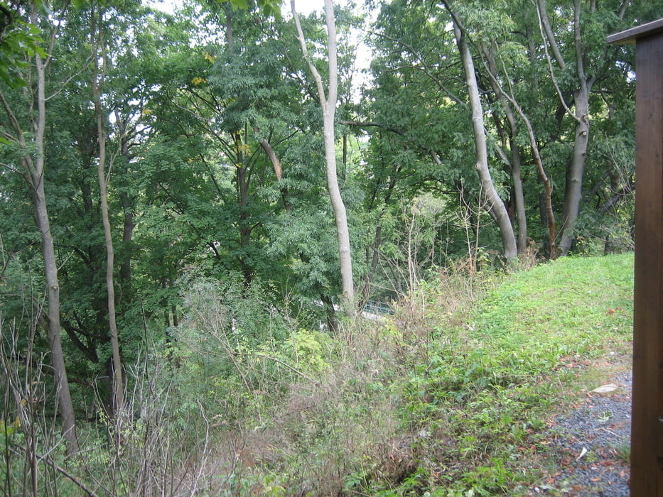
Abwechslungsreiche Tour die alles beinhaltet was man sich als biker wünscht. Erst geht auf den neuen Brücken Radweg und auch zum Teil auf Naturwegen bis kurz vor Selb.Durch den Selber Forst, vorbei Am Schwimmbad " Langer Teich" geht es zum Grenzübergang bei Längenau. Kurz danach geht es auf tollen Trails und Wald und Wiesenwegen bis nach Hohenberg. Zum Schluss noch über den Steinberg zurück nach Thiersheim.
Tour gallery
Tour map and elevation profile
Minimum height 451 m
Maximum height 727 m
More about the tour author
|
|
Bernd-Ghostbiker |
Comments

Startpunkt ist Thiersheim. Anreise per PKW: aus Richtung Regensburg - Weiden A 93 in Richtung Berlin Ausfahrt Thiersheim aus Richtung Nürnberg - Bayreuth A 9 in Richtung Berlin Ausfahrt Bad Berneck und dann durch das Fichtelgebirge über Tröstau, Wunsiedel, Marktredwitz nach Thiersheim oder Ausfahrt Gefrees über Weißenstadt, Röslau, Bernstein nach Thiersheim
GPS tracks
Trackpoints-
GPX / Garmin Map Source (gpx) download
-
TCX / Garmin Training Center® (tcx) download
-
CRS / Garmin Training Center® (crs) download
-
Google Earth (kml) download
-
G7ToWin (g7t) download
-
TTQV (trk) download
-
Overlay (ovl) download
-
Fugawi (txt) download
-
Kompass (DAV) Track (tk) download
-
Track data sheet (pdf) download
-
Original file of the author (gpx) download
More about the tour author
|
|
Bernd-Ghostbiker |
Add to my favorites
Remove from my favorites
Edit tags
Open track
My score
Rate