


Auf und Ab im Tal der Pesa
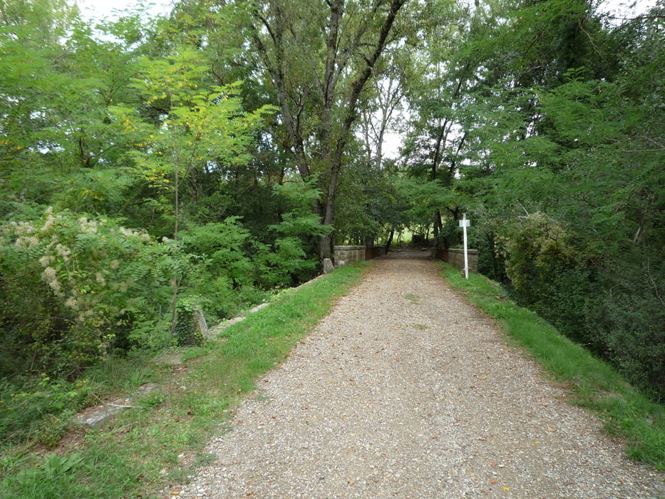
Schöne Tour im Chianti zum Teil auf der "Strada bianca" mit schönen Anstiegen. Nach der Brücke über die Pesa eine kurze Schiebepassage!
Start/Ziel: San Donato in Poggio an der Bar/Tabacchi ( hier gibt es dann die Belohnungen für die Anstrengungen, Cappu und Süßteil! )
Viel Spaß!
Empfehlung: Unbedingt die Zeit für eine Besichtigung von San Donato einplanen!
San Donato in Poggio
Im Ort San Donato in Poggio stammen die Häuser zum Teil noch aus dem 14. Jahrhundert. Stadttore, enge Gassen und Durchgänge verleihen dem Dorf San Donato in Poggio abseits der gängigen Reiserouten ein wahrhaft historisches Flair.
Tour gallery


Tour map and elevation profile
Minimum height 183 m
Maximum height 433 m
More about the tour author
|
|
FLU |
Comments

GPS tracks
Trackpoints-
GPX / Garmin Map Source (gpx) download
-
TCX / Garmin Training Center® (tcx) download
-
CRS / Garmin Training Center® (crs) download
-
Google Earth (kml) download
-
G7ToWin (g7t) download
-
TTQV (trk) download
-
Overlay (ovl) download
-
Fugawi (txt) download
-
Kompass (DAV) Track (tk) download
-
Track data sheet (pdf) download
-
Original file of the author (gpx) download
More about the tour author
|
|
FLU |
Add to my favorites
Remove from my favorites
Edit tags
Open track
My score
Rate