

Torudatum: 26.09.12012
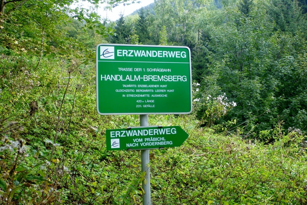
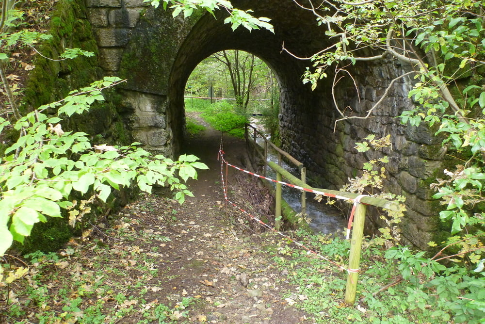
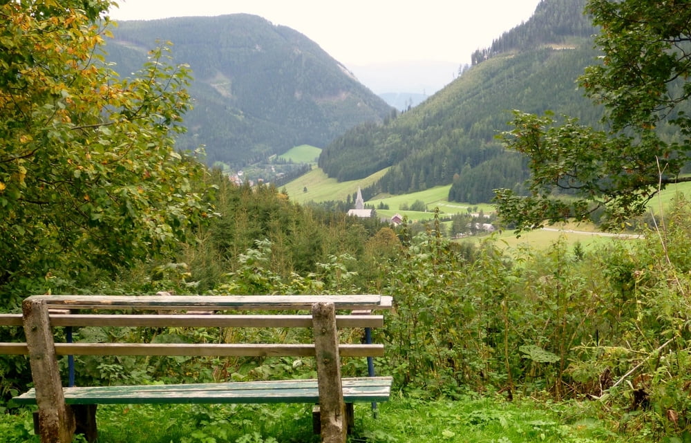
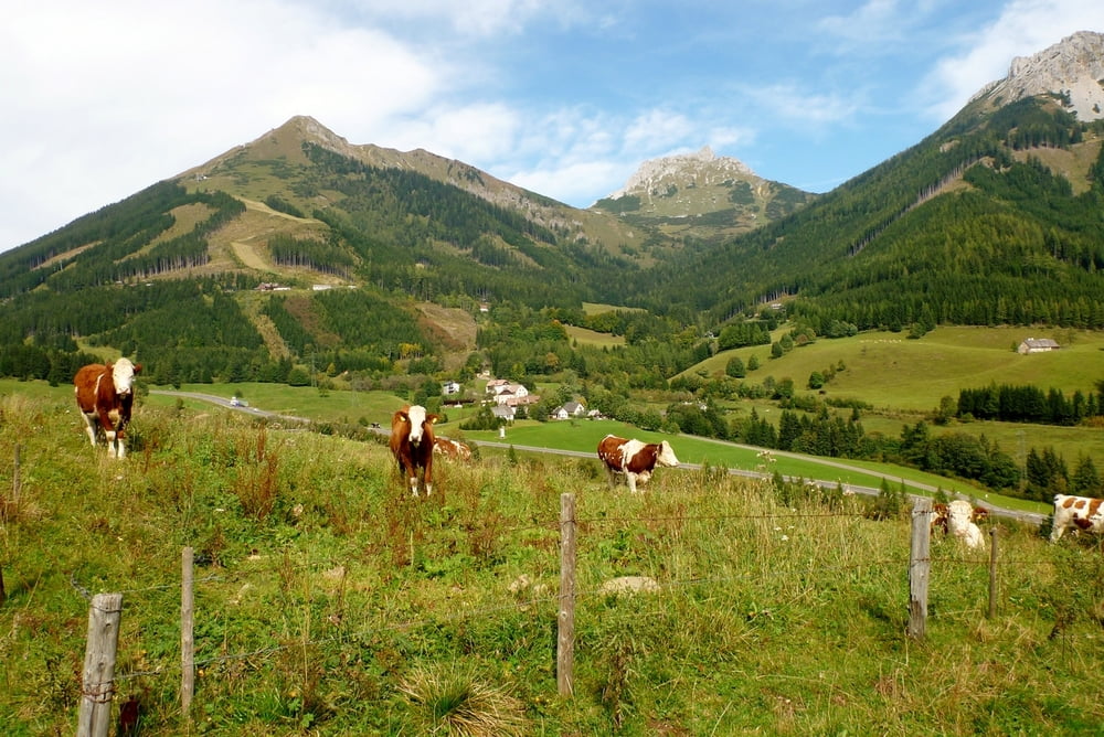
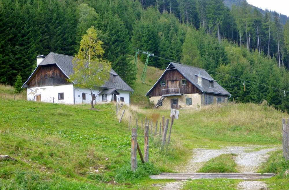
Wir haben die Runde beim Hüttendorf Präbichl begonnen und sind immer den Hinweisschildern des Erzwanderweges gefolgt. Gleich bei der Handlalm ist Vorsicht geboten, da das Schild etwas versteckt angebracht wurde. Wir sind den Weg, der direkt auf der ehemaligen Trasse der Erzförderanlage angelegt wurde bis nach St.Laurenti gefolgt. Von dort ging es auf der Kohlwegforststraße über die Kohlwegalm und den Präbichlhof (empfehlenswert) zurück ins Hüttendorf.
Alle Bilder Siehe Link
Further information at
http://sdrv.ms/SRrYaATour gallery
Tour map and elevation profile
Minimum height 912 m
Maximum height 1280 m
More about the tour author

|
Herbiy |
Comments

GPS tracks
Trackpoints-
GPX / Garmin Map Source (gpx) download
-
TCX / Garmin Training Center® (tcx) download
-
CRS / Garmin Training Center® (crs) download
-
Google Earth (kml) download
-
G7ToWin (g7t) download
-
TTQV (trk) download
-
Overlay (ovl) download
-
Fugawi (txt) download
-
Kompass (DAV) Track (tk) download
-
Track data sheet (pdf) download
-
Original file of the author (gpx) download
More about the tour author
|
|
Herbiy |
Add to my favorites
Remove from my favorites
Edit tags
Open track
My score
Rate