
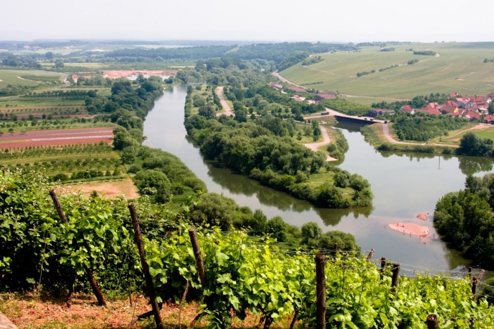

Deutschlands erste vom ADFC zertifizierte 5-Sterne-Qualitätsradroute beginnt wahlweise in der Fränkischen Schweiz an der Quelle des Roten Mains oder am Ursprung des Weißen Mains im Fichtelgebirge und endet nach rund 600 Kilometern in Mainz an der Mündung in den Rhein. Weitgehend autofrei und gut beschildert, schlängelt sich die Route auf tadellosen Wegen durch abwechslungsreiche Landschaften wie das Fränkische Weinland, das liebliche Taubertal oder die märchenhaften Wälder des Spessarts. So vielfältig wie die Landschaft sind auch die Städte am Wegesrand - ob die Bierstädte Kulmbach und Bamberg, die Festspielstadt Bayreuth, die historischen Orte Würzburg und Aschaffenburg oder die internationale Finanzmetropole Frankfurt. Dank überwiegend ebenem Gelände ist der Fernweg sehr gut für Radtouren mit Kindern geeignet.
Further information at
http://www.hikeandbike.deTour map and elevation profile
Minimum height 107 m
Maximum height 348 m
More about the tour author

|
Mountainracer |
Comments

GPS tracks
Trackpoints-
GPX / Garmin Map Source (gpx) download
-
TCX / Garmin Training Center® (tcx) download
-
CRS / Garmin Training Center® (crs) download
-
Google Earth (kml) download
-
G7ToWin (g7t) download
-
TTQV (trk) download
-
Overlay (ovl) download
-
Fugawi (txt) download
-
Kompass (DAV) Track (tk) download
-
Track data sheet (pdf) download
-
Original file of the author (gpx) download
More about the tour author
|
|
Mountainracer |
Add to my favorites
Remove from my favorites
Edit tags
Open track
My score
Rate