


Tourdatum: 26.9.2012
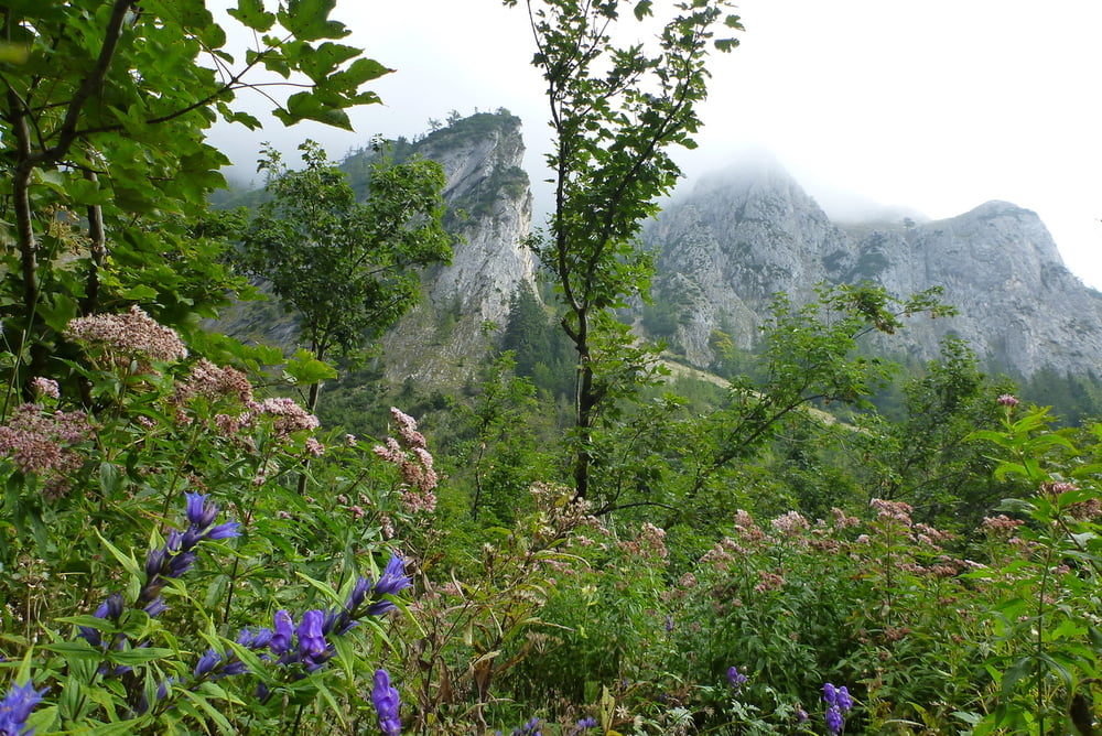
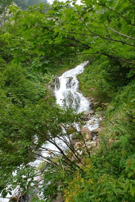
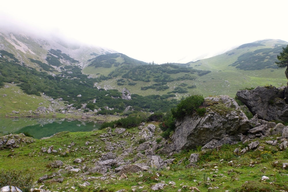
Von der Hirnalm geht es nicht allzu steil in abwechslungsreicher Vegetation bis an den Fuß des Wasserfalls, danach im Zickzack und steilen Gelände und auf Grund des Kuhtriebes entsprechenden Untergrund auf den Krumpensee bzw auf die Krumpalm. Kurz vor der Krumpalm entspringt die Quelle des Krumpenbaches und stürzt unmittelbar nach dem Austritt über die Fälle.
Auf der Krumpalm wurden wir durch einen rührigen Wirt verköstigt.
Fotos siehe Link
Further information at
http://sdrv.ms/R74PBgTour gallery

Tour map and elevation profile
Minimum height 933 m
Maximum height 1438 m
More about the tour author

|
Herbiy |
Comments

GPS tracks
Trackpoints-
GPX / Garmin Map Source (gpx) download
-
TCX / Garmin Training Center® (tcx) download
-
CRS / Garmin Training Center® (crs) download
-
Google Earth (kml) download
-
G7ToWin (g7t) download
-
TTQV (trk) download
-
Overlay (ovl) download
-
Fugawi (txt) download
-
Kompass (DAV) Track (tk) download
-
Track data sheet (pdf) download
-
Original file of the author (gpx) download
More about the tour author
|
|
Herbiy |
Add to my favorites
Remove from my favorites
Edit tags
Open track
My score
Rate