


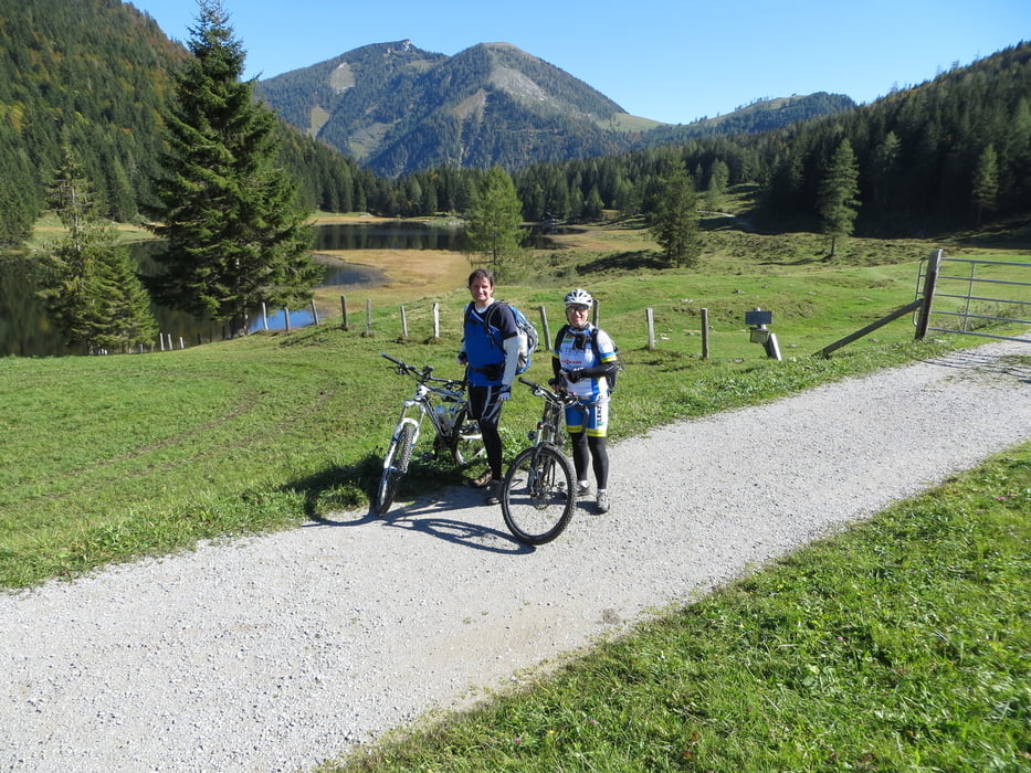
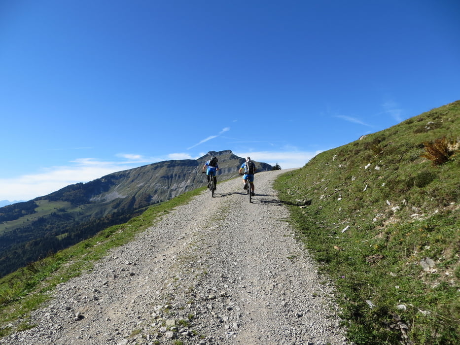
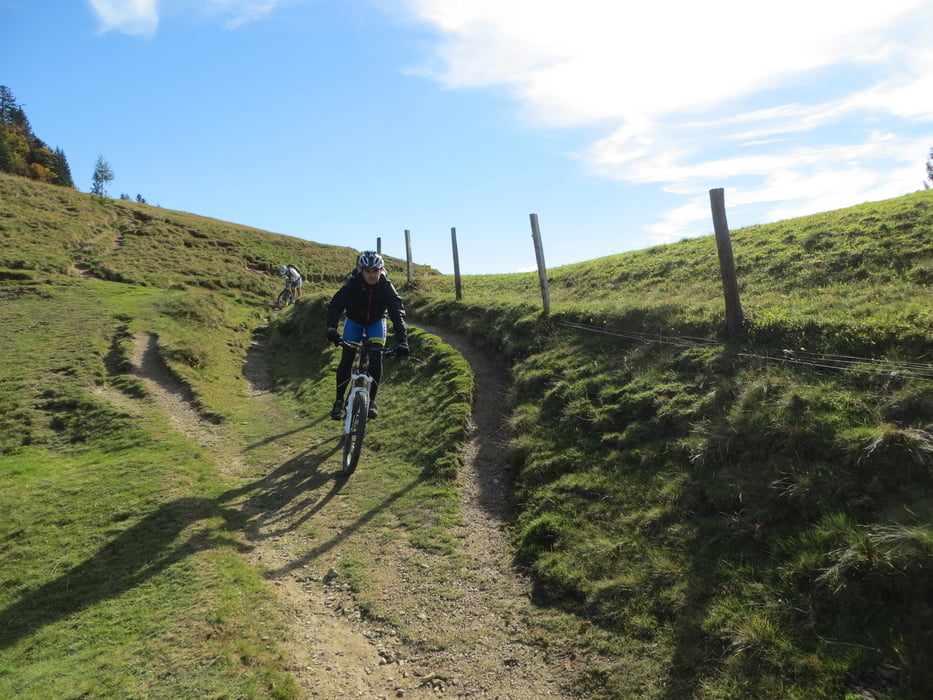
Ausgangspunkt ist ein kleiner Parkplatz in einem Waldstück in Hintersee. ca.5km auf Asphalt dann wird es gleich steil auf einer Forststrasse zur Genneralm. Jetzt eine sehr schöne Abfahrt durchs Ackersbachtal. Dann wieder steil bergauf zum Seewaldsee, wieder eine sehr schöne Landschaft und auf Asphalt abwärts. Weiter zum nächsten sehr steilen Anstieg hinauf zur Bergalm. Das ist eine sehr schöne aber durch die drei steilen Anstiege eine kräfteraubende Tour. Einkehrmöglichkeiten gibt es auf den Almen.
mehr Bilder: seppdepp.heim.at
Tour gallery

Tour map and elevation profile
Minimum height 638 m
Maximum height 1283 m
More about the tour author
|
|
Atzbach |
Comments

GPS tracks
Trackpoints-
GPX / Garmin Map Source (gpx) download
-
TCX / Garmin Training Center® (tcx) download
-
CRS / Garmin Training Center® (crs) download
-
Google Earth (kml) download
-
G7ToWin (g7t) download
-
TTQV (trk) download
-
Overlay (ovl) download
-
Fugawi (txt) download
-
Kompass (DAV) Track (tk) download
-
Track data sheet (pdf) download
-
Original file of the author (gpx) download
More about the tour author
|
|
Atzbach |
Add to my favorites
Remove from my favorites
Edit tags
Open track
My score
Rate